
Bosnia y Herzegovina en autocaravana: regiones y rutas
Bosnia y Herzegovina en autocaravana: regiones recomendadas, mejor época, acceso por carretera y consejos prácticos para planificar la ruta.
Published 18 de septiembre de 2026Last checked 19 de septiembre de 2026
Moneda
Marco convertible
BAM, no el euro. 1.95583 KM por €1 al tipo fijo
Idiomas
Bosnio, Croata, Serbio
Latín y cirílico en uso
Conducción
Derecha
Autopista 130 km/h, otras carreteras 80 km/h
Seguro
No se necesita tarjeta verde
Controles de la UE suspendidos el 19 de octubre de 2020
Minas terrestres
775 km² aún sospechoso
Mantente en caminos y senderos marcados
Emergencia
112
Ambulancia 124
Áreas de Bosnia y Herzegovina
Regiones de Bosnia y Herzegovina: montañas, dos ríos y un extremo mediterráneo
Este es un país de valles, y los valles lo deciden todo: por dónde van las carreteras, dónde están los pueblos, qué hace el tiempo y cuánto dura cualquier viaje. Léelo como cuatro o cinco sistemas fluviales en lugar de como un mapa, y añade la mitad a cada tiempo de conducción.

Sarajevo y el centro
Sarajevo y el centro: la ciudad en el cuenco y las montañas sobre ella
Sarajevo se encuentra en una estrecha hondonada a unos 500 metros, con montañas a su alrededor, y los picos olímpicos de Bjelašnica, Igman y Jahorina se encuentran a menos de una hora. Es el lugar más concentrado del país: bazar otomano, bulevares de los Habsburgo, bloques socialistas y las marcas del asedio, a poca distancia unos de otros.
Mejor de mayo a principios de octubre
What it is like
- Proper seasons. 28 °C in August, 4 °C in January, and rain spread through the year rather than in a wet season.
- The bowl traps air in winter, and air pollution here is a real and officially flagged problem.
Where to go
- Baščaršija and the Latin Bridge
- The tunnel museum under the airport
For the vehicle
- Thefts from cars have increased around Sarajevo, particularly on Mount Trebević. Leave nothing visible and park where there are people.
- The A1 runs north from here and charges a campervan 14 KM to Zenica north against 7 for a car.

Herzegovina
Herzegovina: Mostar, el Neretva y el sur kárstico
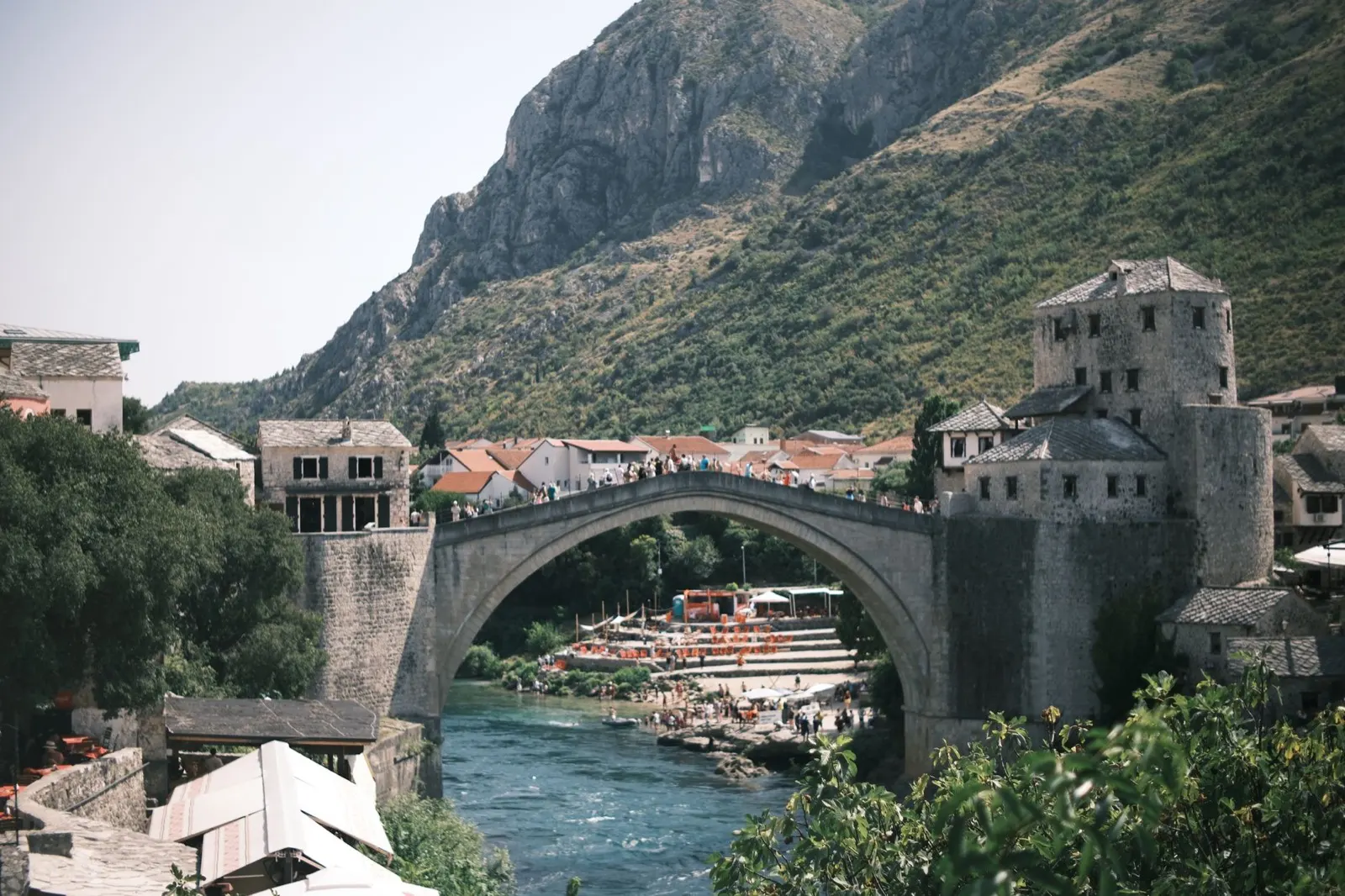
Al sur de la divisoria de aguas, el país cambia por completo: cársticos desnudos, higueras y viñedos, y un clima mediterráneo que llega hasta Trebinje y la frontera croata. Mostar es el centro de todo, y el río Neretva es la razón por la que las cosas están donde están.
Mejor de abril a junio, septiembre, octubre
What it is like
- Hot. Mostar averages 33.5 °C in August and the karst holds the heat well past sunset.
- Wet in late autumn rather than in summer, and the November figures here are higher than Sarajevo's.
Where to go
- Mostar and the Old Bridge, early or late
- Blagaj, where the Buna comes out of a cliff
For the vehicle
- This is the Federation, so the hospitality law and its 50 to 500 KM camping fine apply here.
- Diving off the Mostar bridge has caused serious injuries and deaths. It is not a thing to try.

La Una y el noroeste
El Una y el noroeste: el agua más verde del país
La Una nace cerca de la frontera croata y fluye hacia el norte a través de Martin Brod, Kulen Vakuf y Bihać sobre una escalera de cascadas de travertino. El Parque Nacional Una protege lo mejor de ella, y todo el rincón está preparado para el rafting, lo que significa que también está preparado para campings.
Mejor de mayo a septiembre
What it is like
- The wet corner of the country. Bihać takes over 100 mm in most months, which is why the river looks the way it does.
- Cooler than the rest in summer, at 27 °C in July against Mostar's 33.
Where to go
- Štrbački buk, the big fall in the national park
- Martin Brod and the Una Kruna cascades
For the vehicle
- This was a front line, and it is one of the parts of the country where staying on made surfaces matters most.
- The rafting bases are the easiest legal places to sleep, and they know which ground is cleared.