
Suiza en autocaravana: regiones y rutas
Suiza en autocaravana: regiones recomendadas, mejor época, acceso por carretera y consejos prácticos para planificar la ruta.
Published 18 de septiembre de 2026Last checked 18 de septiembre de 2026
Moneda
Franco suizo
CHF, no el euro. 0.9462 francos por €1 el 18 de septiembre de 2026
Idiomas
Alemán, Francés, Italiano
El romanche es la cuarta lengua nacional
Conducción
Derecha
Autopista 120 km/h, autovía 100, otras carreteras 80
Energía
230V, tipo J
Un enchufe Schuko normalmente no encajará. Trae un adaptador.
Autopista
viñeta de 40 CHF
Una pegatina, toda la red, hasta 3,5 t
Emergencia
112
Policía 117, ambulancia 144, rescate aéreo 1414
Regiones de Suiza
Las regiones de Suiza: seis recorridos, tres idiomas y dos kilómetros de altitud
Suiza es lo suficientemente pequeña como para cruzarla en un día y lo suficientemente variada como para que el idioma, el clima y las reglas cambien mientras lo haces. Elige la región por altitud y mes, y deja que los pasos decidan el orden en que los recorres.

Valais
Valais: el rincón más seco de Suiza y el que tiene el Matterhorn
El valle del Ródano discurre de este a oeste entre las dos cordilleras más altas de los Alpes, y los valles laterales ascienden desde él hacia Zermatt, Saas-Fee y el Grand Combin. En el valle inferior se habla francés, en el superior alemán, y la frontera entre ambos se sitúa alrededor de Sierre.
Mejor de abril a junio, septiembre y octubre
What it is like
- The driest region in this guide. Sion gets less rain in a year than any other station in the strip.
- Terraced vineyards on the north slope and glaciers directly above them.
Where to go
- Zermatt and the Gornergrat, parked at Täsch
- The Aletsch glacier from the Riederalp side
For the vehicle
- Caravans and tents outside an authorised campsite need a building permit here once they stand more than three weeks or number more than twelve.
- The Lötschberg car train drops you into the Valais from the Bernese Oberland in minutes, all year.

Oberland Bernés
El Oberland Bernés: la cara de montaña que todo el mundo imagina
Interlaken se encuentra entre dos lagos con el Eiger, Mönch y Jungfrau detrás, y los valles de Lauterbrunnen y Grindelwald se adentran en ellos. Este es el paisaje de montaña más visitado del país y el más organizado.
Mejor de junio a septiembre
What it is like
- Wet. Interlaken's summer months are among the rainiest in the strip, which is exactly why the valleys are so green.
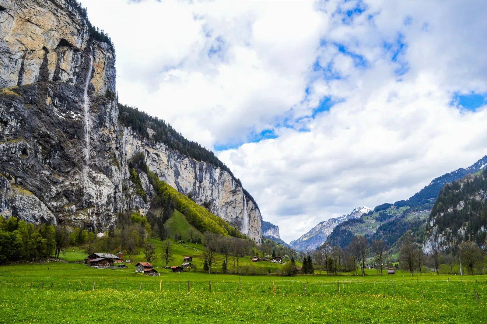
- The Lauterbrunnen valley has a vertical wall on both sides and dozens of waterfalls coming off them.
Where to go
- Lauterbrunnen and the Staubbach falls
- Grindelwald and the walks under the Eiger north face
For the vehicle
- Free and wild camping is banned in the canton's listed wildlife protection areas, and several of them are in these mountains.
- Mürren and Wengen are car free. Park in the valley and take the train.

Grisones y la Engadina
Grisones y la Engadina: el cantón más grande, los valles más altos
El cantón más grande de Suiza, trilingüe en alemán, italiano y romanche, y el único con un parque nacional. El Engadin se extiende a unos 1.700 metros de longitud, lo que lo hace frío, luminoso y el mejor lugar del país para estar en agosto.
Mejor de junio a septiembre
What it is like
- High. Samedan's January daily maximum is below freezing and its July maximum is 19 °C.
- Romansh is still a living language in these valleys and appears on signs alongside German.
Where to go
- The Swiss National Park along the Ofen pass road
- The Engadin lakes between St Moritz and Maloja
For the vehicle
- No general cantonal rule on overnighting could be found here. Communal signs are the only source, and the National Park area is strict.
- Inside the national park the only overnight options are the Cluozza hut and Hotel Il Fuorn.