
Bosnia ed Erzegovina in camper: regioni e itinerari
Bosnia ed Erzegovina in camper: regioni consigliate, stagione migliore, accesso stradale e suggerimenti pratici per pianificare l’itinerario.
Published 18 settembre 2026Last checked 19 settembre 2026
Valuta
Marco convertibile
BAM, non l'euro. 1.95583 KM per €1 al cambio fisso
Lingue
Bosniaco, Croato, Serbo
Entrambe le scritture, latina e cirillica, in uso
Guida
Destra
Autostrada 130 km/h, altre strade 80 km/h
Assicurazione
Carta Verde non richiesta
Controlli UE interrotti il 19 ottobre 2020
Mine antiuomo
775 km² ancora sospetti
Rimani su strade e sentieri segnalati
Emergenza
112
Ambulanza 124
Aree della Bosnia ed Erzegovina
Le regioni della Bosnia ed Erzegovina: montagne, due fiumi e una coda mediterranea
Questo è un paese di valli, e le valli decidono tutto: dove vanno le strade, dove sono le città, che tempo fa e quanto dura ogni viaggio. Leggilo come quattro o cinque sistemi fluviali piuttosto che come una mappa, e aggiungi almeno la metà a ogni tempo di percorrenza.

Sarajevo e il centro
Sarajevo e il centro: la città nella conca e le montagne sopra di essa
Sarajevo si trova in una stretta conca a circa 500 metri, con montagne su ogni lato, e le cime olimpiche di Bjelašnica, Igman e Jahorina sono a meno di un'ora di distanza. È il luogo più concentrato del paese: bazar ottomani, viali asburgici, blocchi socialisti e i segni dell'assedio, a pochi passi l'uno dall'altro.
Ideale da maggio a inizio ottobre
What it is like
- Proper seasons. 28 °C in August, 4 °C in January, and rain spread through the year rather than in a wet season.
- The bowl traps air in winter, and air pollution here is a real and officially flagged problem.
Where to go
- Baščaršija and the Latin Bridge
- The tunnel museum under the airport
For the vehicle
- Thefts from cars have increased around Sarajevo, particularly on Mount Trebević. Leave nothing visible and park where there are people.
- The A1 runs north from here and charges a campervan 14 KM to Zenica north against 7 for a car.

Erzegovina
Erzegovina: Mostar, la Neretva e il sud carsico
A sud del spartiacque il paese cambia completamente: carsismo brullo, fichi e viti, e un clima mediterraneo che arriva fino a Trebinje e al confine croato. Mostar ne è il centro, e la Neretva è il motivo per cui le cose si trovano dove sono.
Ideale da aprile a giugno, poi a settembre e ottobre
What it is like
- Hot. Mostar averages 33.5 °C in August and the karst holds the heat well past sunset.
- Wet in late autumn rather than in summer, and the November figures here are higher than Sarajevo's.
Where to go
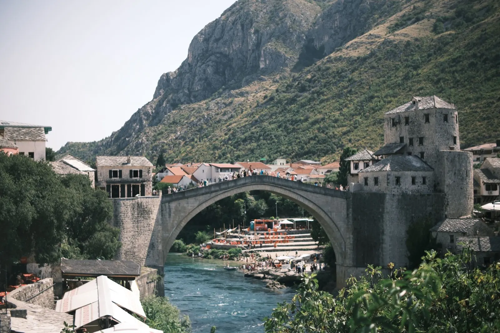
- Mostar and the Old Bridge, early or late
- Blagaj, where the Buna comes out of a cliff
For the vehicle
- This is the Federation, so the hospitality law and its 50 to 500 KM camping fine apply here.
- Diving off the Mostar bridge has caused serious injuries and deaths. It is not a thing to try.

La Una e il nord-ovest
La Una e il nord-ovest: l'acqua più verde del paese
L'Una nasce vicino al confine croato e scorre verso nord attraverso Martin Brod, Kulen Vakuf e Bihać, superando una cascata di cascate di travertino. Il Parco Nazionale dell'Una protegge il meglio di essa, e tutto l'angolo è attrezzato per il rafting, il che significa che è anche attrezzato per i campeggi.
Ideale da maggio a settembre
What it is like
- The wet corner of the country. Bihać takes over 100 mm in most months, which is why the river looks the way it does.
- Cooler than the rest in summer, at 27 °C in July against Mostar's 33.
Where to go
- Štrbački buk, the big fall in the national park
- Martin Brod and the Una Kruna cascades
For the vehicle
- This was a front line, and it is one of the parts of the country where staying on made surfaces matters most.
- The rafting bases are the easiest legal places to sleep, and they know which ground is cleared.