
Norvegia in camper: regioni e itinerari
Norvegia in camper: regioni consigliate, stagione migliore, accesso stradale e suggerimenti pratici per pianificare l’itinerario.
Published 18 settembre 2026Last checked 18 settembre 2026
Valuta
Corona norvegese
NOK, non l'euro. 10.8095 kr per €1 il 18 settembre 2026
Lingua
Norvegese
L'inglese è parlato quasi ovunque
Guida
Destra
80 km/h fuori città, 80 km/h limite oltre 3,5 t
Elettricità
230V, tipo F
Stessa spina a due poli come la maggior parte del continente
Acqua del rubinetto
Potabile
Richiedi vann fra springen
Emergenza
112 polizia
Vigili del fuoco 110, ambulanza 113, soccorso in mare 120
Aree della Norvegia
Le regioni della Norvegia: fiordi, isole, montagne e l'estremo nord
La Norvegia è lunga e la differenza tra le sue estremità è una stagione piuttosto che uno stile. La costa meridionale è una vacanza estiva, i fiordi sono lo scenario per cui tutti vengono, le montagne sono chiuse per metà dell'anno e il nord è un impegno misurato in giorni di guida. Scegli la regione in base al mese del tuo viaggio e a quanto sei disposto ad andare.

Fiordi occidentali
I fiordi occidentali: lo scenario per cui tutti vengono, e la pioggia che lo rende tale
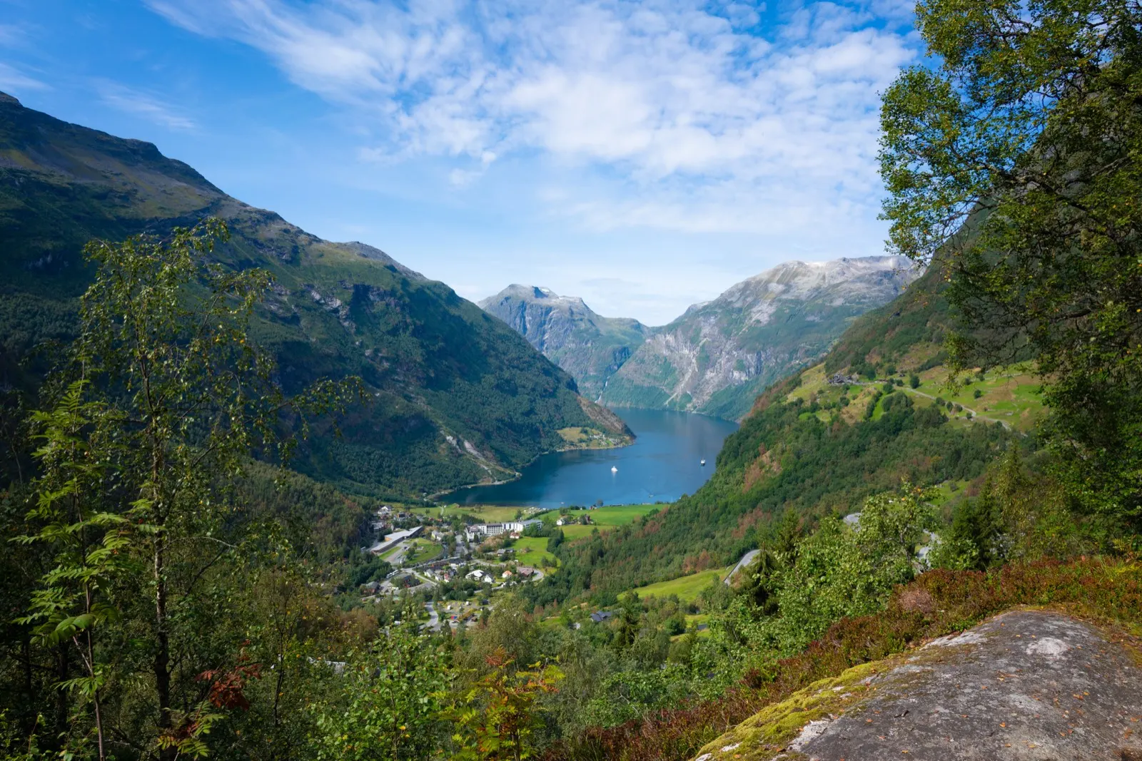
Bergen, il Sognefjord, Hardanger, Geiranger e la costa a nord di Ålesund. Questa è la Norvegia delle cartoline, e il motivo per cui appare così è la pioggia: Bergen ha una media di oltre 100 mm in ogni mese dell'anno e 290 mm a dicembre.
Ideale da giugno ad agosto
What it is like
- Mild for the latitude and wet all year. Bergen runs from 5 °C in January to 20 °C in July.
- The roads are slow by design: ferries, single track sections, tunnels and hairpins. Distances on the map mean nothing.
Where to go
- Geiranger and the Trollstigen road
- The Sognefjord and Aurlandsfjellet
For the vehicle
- Ferries are unavoidable and priced by length. A prepayment agreement with AutoPASS for ferry is worth 50 percent to a private customer.
- Geiranger to Hellesylt needs booking in summer. Missing a sailing can cost you an hour or more.

Lofoten e Vesterålen
Isole Lofoten e Vesterålen: le isole con regole di campeggio scritte proprie
Una catena di isole granitiche frastagliate sopra il Circolo Polare Artico, raggiungibili tramite la E10 o in traghetto da Bodø a Moskenes. Le Lofoten sono anche l'unica parte della Norvegia in cui è stato scritto esattamente dove non si può campeggiare e dove non si può parcheggiare un camper durante la notte.
Ideale da giugno ad agosto
What it is like
- Milder than the latitude suggests. Leknes averages 16 °C in July and 1 °C in January.
- Summer is busy and the islands are small. The good places are known and the car parks fill.
Where to go
- The National Tourist Route through the islands, 230 km
- Reine and the Moskenes end
For the vehicle
- The Lofoten outdoor recreation regulation is real law. Tents are banned at named places from 1 May to 1 October, and all year at Haukland in Vestvågøy.
- It also bans parking a motorhome or caravan between 00:00 and 06:00 at named car parks in Vågan and Værøy.

Tromsø e Finnmark
Tromsø e Finnmark: sole di mezzanotte in estate, notte polare in inverno
L'estremo nord, da Tromsø fino alla penisola di Varanger e al confine russo. Le distanze sono lunghe, gli insediamenti sono piccoli e la terra si apre in tundra. A Tromsø il sole di mezzanotte va da circa il 18 maggio al 26 luglio e la notte polare da circa il 26 novembre al 15 gennaio.
Ideale da giugno ad agosto
What it is like
- Cool even at its best: Tromsø averages 16 °C in July and minus 1 °C in January.
- The sun does not set for two months in summer. Blackout blinds are not a luxury here.
Where to go
- Senja, 102 km of National Tourist Route
- Varanger, 160 km out to the Arctic Ocean
For the vehicle
- Fuel, food and signal all thin out. Fill at half a tank and carry more than you think you need.
- Studded tyres are allowed here from 16 October to 30 April, two weeks either side of the rest of the country.