
Luksemburg kamperem: najlepsze regiony i trasy
Luksemburg kamperem: polecane regiony, najlepszy sezon, dojazd i praktyczne wskazówki dotyczące planowania trasy. Co warto wiedzieć przed wyjazdem.
Published 18 września 2026Last checked 19 września 2026
Waluta
Euro
EUR. Karty wszędzie. VAT wynosi 17 procent
Język
Luksemburski
Francuski i niemiecki są również językami administracyjnymi
Jazda
Prawa strona
Autostrada 130 km/h, 110 w deszczu, 90 poza terenem zabudowanym
Zasilanie
230V, typ C i F
Standardowa okrągła dwupinowa wtyczka kontynentalna
Transport publiczny
Darmowe
Druga klasa, ogólnokrajowa, od 1 marca 2020 r.
Pogotowie
112
Dowolny język. Policja 113
Obszary Luksemburga
Regiony Luksemburga: cztery krajobrazy w zasięgu godziny jazdy samochodem
Luksemburg ma 82 km długości i 57 km szerokości, więc nie są to miejsca, na które planuje się tygodniowe wakacje. To cztery dość odmienne krajobrazy upakowane w kraju, który można przejechać przed obiadem, a rozsądną decyzją jest wybór doliny, w której się zatrzymasz, a nie tego, do którego zakątka pojedziesz.

Luksemburg i południe
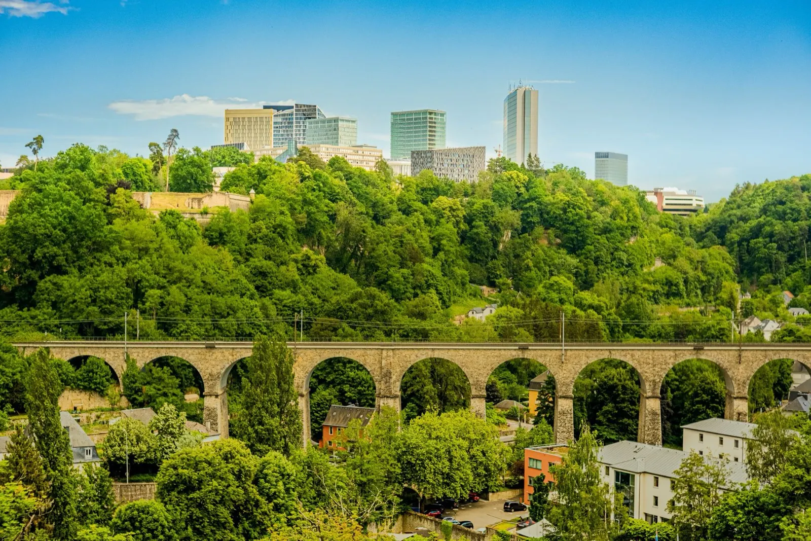
Luksemburg i południe: twierdza i stara kraina żelaza
Stolica leży na skale przeciętej dwoma wąwozami, dlatego przez osiemset lat była twierdzą, a od 1994 roku znajduje się na Liście Światowego Dziedzictwa UNESCO. Na południe od niej Minette, stary basen rudy żelaza wokół Esch-sur-Alzette, został przekształcony z powrotem w rezerwaty przyrody z czerwonymi skałami i dziedzictwo przemysłowe.
Najlepszy kwiecień do października
What it is like
- The old town sits above two green gorges, so the city is small on the map and much bigger on foot.
- The Bock casemates are a 17th century tunnel network cut into the rock under the old town.
Where to go
- The Bock casemates and the Chemin de la Corniche
- The Pfaffenthal panoramic lift, which is free
For the vehicle
- Park outside and use the free network. Second-class bus, tram and train cost nothing anywhere in the country.
- The city's approaches are congested 07:00 to 09:00 and after 16:30, because of 205,000 cross-border commuters.

Mullerthal
Mullerthal: korytarze z piaskowca i najlepsze spacery w kraju
Nazywana Małą Szwajcarią bez wyraźnego powodu, ponieważ niczym nie przypomina Szwajcarii. Jest to płaskowyż z miękkiego piaskowca, wyrzeźbiony w szczeliny, korytarze i wolnostojące bloki, otoczony lasem bukowym, z Echternach i jego opactwem nad Sauer na wschodniej krawędzi.
Najlepszy kwiecień do października
What it is like
- The rock formations are the point: narrow passages between sandstone walls, ladders, and small waterfalls.
- Echternach is the oldest town in Luxembourg, with a Benedictine abbey and a dancing procession on Whit Tuesday that is on the UNESCO intangible heritage list.
Where to go
- The Mullerthal Trail, walked in sections rather than all at once
- Schiessentümpel, the three-arch waterfall
For the vehicle
- Campsites cluster around Echternach, Berdorf and Beaufort, and most are seasonal.
- The lanes between the rock formations are narrow and tree-lined. Height and width matter more than length here.

Éislek i Ardeny
Éislek: Ardeny, zamki i Jezioro Górnego Sûre
Północna jedna trzecia kraju to Ardeny, bardziej pagórkowate i puste niż reszta, z Kneiff na wysokości 560 metrów jako najwyższym punktem Luksemburga. Znajdują się tu wielkie zamki, jezioro Górny Sûre i jedyne prawdziwe poczucie dzikości w kraju.
Najlepszy maj-wrzesień
What it is like
- Steep wooded valleys, slate roofs and small towns at the bottom of them.
- Vianden's castle is the one on every poster, and it earns it.
Where to go
- Vianden castle and the chairlift above the town
- Clervaux, for the abbey and the Family of Man photographic exhibition
For the vehicle
- Valley roads are steep, narrow and often wet under trees. The road code makes dangerous speed an offence whatever the sign says.
- Campsites are common on the Sûre and around the lake, and most close outside roughly Easter to October.