
Słowenia kamperem: najlepsze regiony i trasy
Słowenia kamperem: polecane regiony, najlepszy sezon, dojazd i praktyczne wskazówki dotyczące planowania trasy. Co warto wiedzieć przed wyjazdem.
Published 18 września 2026Last checked 18 września 2026
Waluta
Euro
EUR. W strefie euro od 2007 r. Karty prawie wszędzie
Język
Słoweński
Włoski i węgierski są współurzędowe w miastach przygranicznych
Jazda
Prawa strona
Autostrada 130 km/h, 80 km/h powyżej 3,500 kg
Zasilanie
230V, typ F
Ten sam dwupinowy wtyk co w większości Europy
Woda z kranu
Zdatna do picia
Zapytaj o vodo iz pipe
Pogotowie
112
Dowolny język. Policja 113, informacje drogowe 1970
Obszary Słowenii
Regiony Słowenii: Alpy, Kras i wybrzeże, wszystko w zasięgu dwóch godzin
Słowenia ma 20,272 kilometry kwadratowe i jest to najważniejsza informacja przy planowaniu. Z Lublany do Alp Julijskich, Adriatyku i granicy węgierskiej dojedziesz w mniej niż dwie godziny, więc region możesz wybrać według pogody w danym tygodniu, a nie trasy ustalonej w domu.

Julijskie Alpy i Triglav
Julijskie Alpy i Triglav: najlepsze krajobrazy i najsurowsze zasady
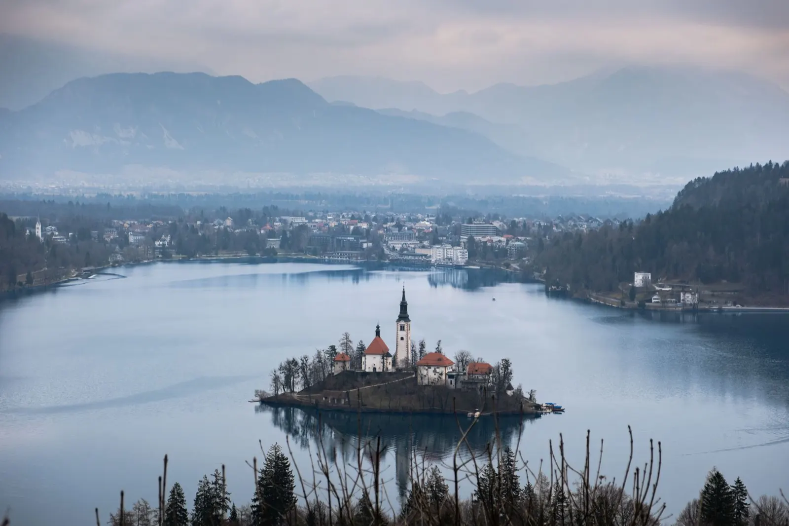
Bled, Bohinj, Kranjska Gora, dolina Vrat i cały Park Narodowy Triglav, który obejmuje około 880 kilometrów kwadratowych, czyli około czterech procent kraju. To właśnie tutaj przyjeżdża większość turystów i jest to jedyna część Słowenii, w której ustawa krajowa wskazuje, gdzie nie wolno nocować kamperem.
Najlepszy czerwiec do września
What it is like
- Rateče, on a valley floor at 864 metres, averages 24 °C in July and 2 °C in January. The passes above it are colder and hold snow for months longer.
- Bled and Bohinj are busy from June to September and calm either side. Bohinj is the wilder of the two and the better base.
Where to go
- Lake Bled and the Vintgar gorge
- Lake Bohinj and the Savica waterfall
For the vehicle
- Inside the park, parking a habitation vehicle outside a designated place carries 100 to 1,000 euros, and driving or parking off the road network carries 500 to 3,000.
- Bohinj's destination authority names two campsites, at Ukanc and Bohinjska Bistrica, and two motorhome parking areas, at Senožeta in Srednja vas and the Bohinjska Bistrica station.

Dolina Soče
Dolina Soče: turkusowa woda, muzeum wojny i najlepsza droga w kraju
Bovec, Kobarid i Tolmin wzdłuż Soči, następnie w dół do Nowej Goricy i winnic Brda. Rzeka ma rzeczywiście taki kolor, jaki sugerują zdjęcia, a dolina była frontem Isonzo podczas I wojny światowej, dlatego w Kobaridzie znajduje się muzeum warte popołudnia.
Najlepszy maj-wrzesień
What it is like
- Whitewater, gorges and via ferrata in the upper valley, wine and warmth in the lower one.
- Nova Gorica at the bottom of the valley averages 29 °C in July and 30 in August, and 199 mm of rain in November. The upper valley is cooler and wetter still.
Where to go
- Tolmin gorges and the Soča trail
- Kobarid and the Kozjak waterfall
For the vehicle
- Bovec is reported to cap parking a habitation vehicle at 12 hours outside a campsite or the town's own motorhome stopover, so plan the night rather than improvise it.
- The upper valley is one of the three summer pressure points in the country, along with Gorenjska and the coast. Campsites fill in August.

Wybrzeże i Kras
Wybrzeże i Kras: 46 kilometrów Adriatyku i kryjące się za nim jaskinie
Piran, Portorož, Izola, Koper i Ankaran na całej 46,6 kilometrowej słoweńskiej linii brzegowej, a następnie w głąb lądu, w wapienne tereny: Škocjan, Postojna, Lipica i dolina Vipavy. Wenecka architektura, włoski jako język urzędowy i łagodna zima, która pozwala na podróżowanie.
Najlepszy kwiecień do czerwca, wrzesień i październik
What it is like
- Portorož averages 29 °C in July and August and 9 °C in January, so the coast has no dead season, only a quiet one.
- Piran is a Venetian town on a peninsula, walkable in an hour and closed to through traffic. Izola and Koper are working towns with fewer visitors.
Where to go
- Piran and the Sečovlje salt pans
- Škocjan caves, a Unesco site and the better cave
For the vehicle
- The coast is the third of the country's summer pressure points. Campsites cluster around Lucija, Izola and Ankaran and fill in August.
- The burja wind is a real constraint for a high-sided vehicle. Warning signs on the Razdrto to Vipava road and the coastal motorway are not decorative.