
Szwajcaria kamperem: najlepsze regiony i trasy
Szwajcaria kamperem: polecane regiony, najlepszy sezon, dojazd i praktyczne wskazówki dotyczące planowania trasy. Co warto wiedzieć przed wyjazdem.
Published 18 września 2026Last checked 18 września 2026
Waluta
Frank szwajcarski
CHF, nie euro. 0.9462 franka za €1 dnia 18 września 2026 r.
Języki
Niemiecki, francuski, włoski
Retoromański jest czwartym językiem narodowym
Jazda
Prawa strona
Autostrada 120 km/h, droga ekspresowa 100, pozostałe drogi 80
Zasilanie
230V, typ J
Wtyczka Schuko zazwyczaj nie pasuje. Przynieś adapter
Autostrada
winieta CHF 40
Jedna naklejka, cała sieć, do 3,5 t
Pogotowie
112
Policja 117, pogotowie 144, ratownictwo powietrzne 1414
Obszary Szwajcarii
Regiony Szwajcarii: sześć tras, trzy języki i dwa kilometry wysokości
Szwajcaria jest na tyle mała, że można ją przejechać w ciągu dnia, i na tyle zróżnicowana, że język, pogoda i zasady zmieniają się w trakcie podróży. Wybierz region według wysokości i miesiąca, a przełęcze zdecydują o kolejności ich przejazdu.

Valais
Valais: najbardziej suchy zakątek Szwajcarii i ten z Matterhornem
Dolina Rodanu biegnie ze wschodu na zachód między dwoma najwyższymi pasmami górskimi Alp, a boczne doliny odchodzą od niej w kierunku Zermatt, Saas-Fee i Grand Combin. W dolnej części doliny mówi się po francusku, w górnej po niemiecku, a granica między nimi przebiega w okolicach Sierre.
Najlepszy kwiecień do czerwca, wrzesień i październik
What it is like
- The driest region in this guide. Sion gets less rain in a year than any other station in the strip.
- Terraced vineyards on the north slope and glaciers directly above them.
Where to go
- Zermatt and the Gornergrat, parked at Täsch
- The Aletsch glacier from the Riederalp side
For the vehicle
- Caravans and tents outside an authorised campsite need a building permit here once they stand more than three weeks or number more than twelve.
- The Lötschberg car train drops you into the Valais from the Bernese Oberland in minutes, all year.

Alpy Berneńskie
Berner Oberland: górska twarz, którą każdy sobie wyobraża
Interlaken leży między dwoma jeziorami, z Eigerem, Mönchem i Jungfrau górującymi za nim, a doliny Lauterbrunnen i Grindelwald wznoszą się ku nim. Jest to najczęściej odwiedzany krajobraz górski w kraju i najbardziej zorganizowany.
Najlepszy czerwiec do września
What it is like
- Wet. Interlaken's summer months are among the rainiest in the strip, which is exactly why the valleys are so green.
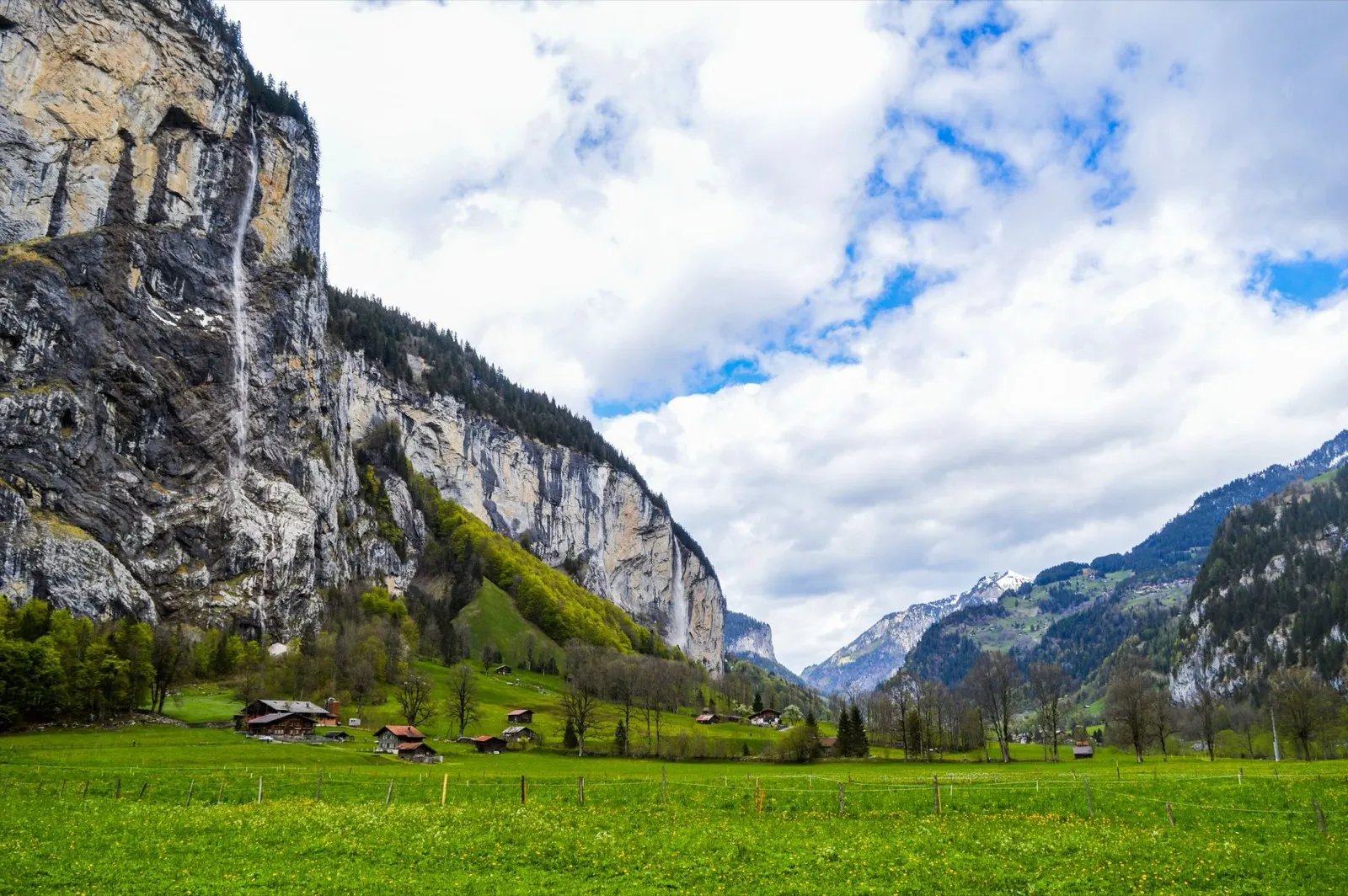
- The Lauterbrunnen valley has a vertical wall on both sides and dozens of waterfalls coming off them.
Where to go
- Lauterbrunnen and the Staubbach falls
- Grindelwald and the walks under the Eiger north face
For the vehicle
- Free and wild camping is banned in the canton's listed wildlife protection areas, and several of them are in these mountains.
- Mürren and Wengen are car free. Park in the valley and take the train.

Gryzonia i Engadyna
Gryzonia i Engadyna: największy kanton i najwyższe doliny
Największy kanton Szwajcarii jest trójjęzyczny, z niemieckim, włoskim i retoromańskim, oraz jako jedyny ma park narodowy. Engadyna biegnie na wysokości około 1,700 metrów na całej długości, dlatego jest chłodna, słoneczna i należy do najlepszych miejsc w kraju na sierpień.
Najlepszy czerwiec do września
What it is like
- High. Samedan's January daily maximum is below freezing and its July maximum is 19 °C.
- Romansh is still a living language in these valleys and appears on signs alongside German.
Where to go
- The Swiss National Park along the Ofen pass road
- The Engadin lakes between St Moritz and Maloja
For the vehicle
- No general cantonal rule on overnighting could be found here. Communal signs are the only source, and the National Park area is strict.
- Inside the national park the only overnight options are the Cluozza hut and Hotel Il Fuorn.