
Slowenien mit dem Camper: beste Regionen und Routen
Slowenien mit dem Camper: empfohlene Regionen, beste Reisezeit, Straßenzugang und praktische Hinweise für die Routenplanung.
Published 18. September 2026Last checked 18. September 2026
Währung
Euro
EUR. Seit 2007 im Euroraum. Kartenzahlung fast überall
Sprache
Slowenisch
Italienisch und Ungarisch sind in Grenzstädten ko-offiziell
Fahren
Rechts
Autobahn 130 km/h, 80 km/h über 3.500 kg
Strom
230V, Typ F
Gleicher zweipoliger Stecker wie in den meisten Teilen Europas
Leitungswasser
Trinkbar
Frag nach vodo iz pipe
Notfall
112
Jede Sprache. Polizei 113, Verkehrsinformationen 1970
Gebiete Sloweniens
Die Regionen Sloweniens: die Alpen, der Karst und die Küste, alle innerhalb von zwei Stunden
Slowenien ist 20.272 Quadratkilometer groß, und das ist die mit Abstand nützlichste Information für die Planung einer Reise hierher. Von Ljubljana aus sind die Julischen Alpen, die Adria und die ungarische Grenze jeweils unter zwei Stunden entfernt, du wählst deine Region also nach dem Wetter in dieser Woche und nicht nach der Route, die du zu Hause geplant hast.

Julische Alpen und Triglav
Die Julischen Alpen und der Triglav: die beste Landschaft und die strengsten Regeln
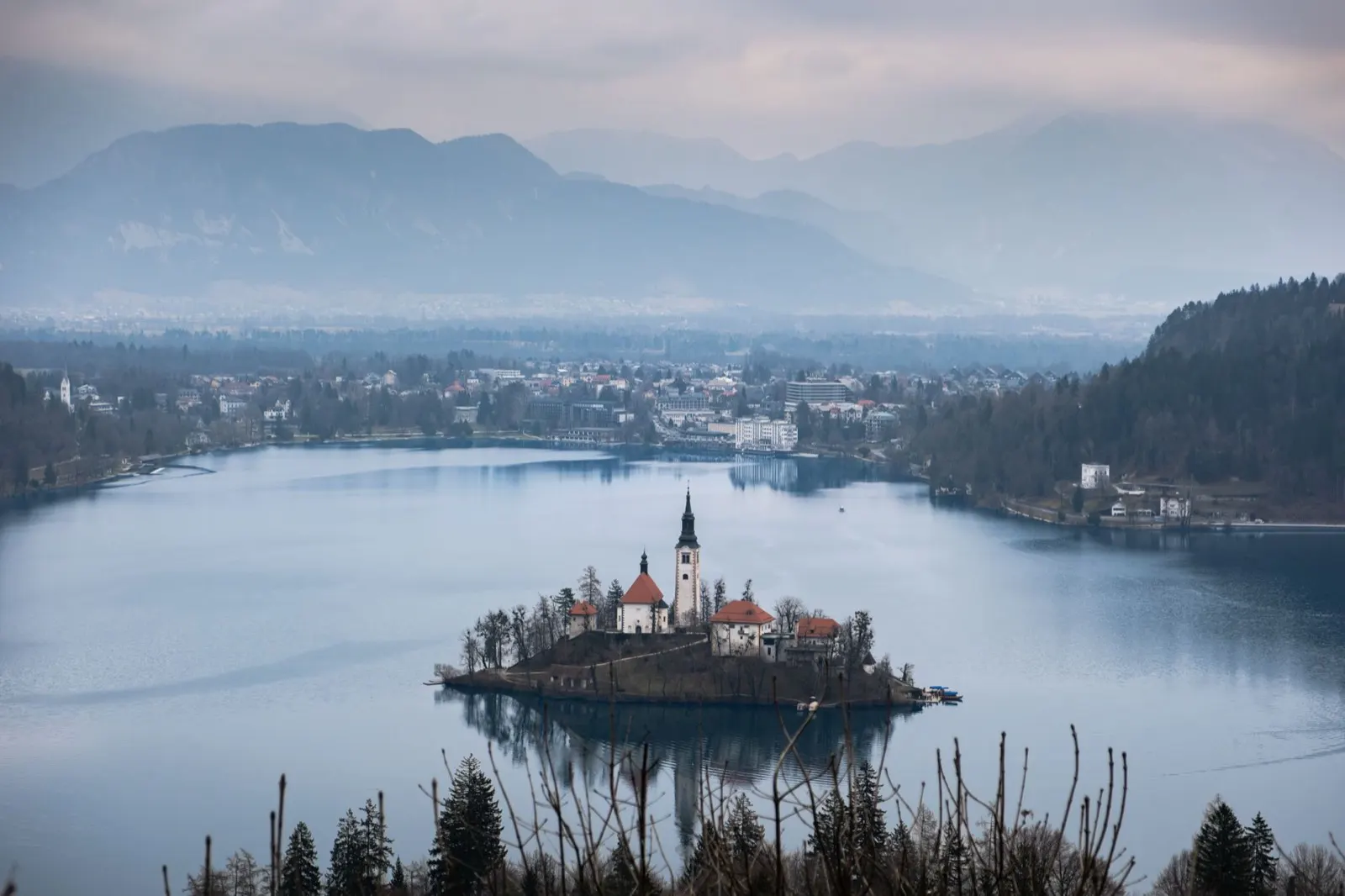
Bled, Bohinj, Kranjska Gora, das Vratatal und der gesamte Triglav-Nationalpark, der etwa 880 Quadratkilometer und rund vier Prozent des Landes umfasst. Dies ist der Grund, warum die meisten Menschen kommen, und es ist auch der einzige Teil Sloweniens, in dem ein nationales Gesetz vorschreibt, wo du mit einem Wohnmobil nicht übernachten darfst.
Am besten von Juni bis September
What it is like
- Rateče, on a valley floor at 864 metres, averages 24 °C in July and 2 °C in January. The passes above it are colder and hold snow for months longer.
- Bled and Bohinj are busy from June to September and calm either side. Bohinj is the wilder of the two and the better base.
Where to go
- Lake Bled and the Vintgar gorge
- Lake Bohinj and the Savica waterfall
For the vehicle
- Inside the park, parking a habitation vehicle outside a designated place carries 100 to 1,000 euros, and driving or parking off the road network carries 500 to 3,000.
- Bohinj's destination authority names two campsites, at Ukanc and Bohinjska Bistrica, and two motorhome parking areas, at Senožeta in Srednja vas and the Bohinjska Bistrica station.

Das Soča-Tal
Das Soča-Tal: türkisfarbenes Wasser, ein Kriegs-Museum und die beste Straße des Landes
Bovec, Kobarid und Tolmin entlang der Soča, dann hinunter nach Nova Gorica und zu den Weinbergen von Brda. Der Fluss hat tatsächlich die Farbe, die auf den Fotos zu sehen ist, und das Tal war die Isonzo-Front im Ersten Weltkrieg, weshalb es in Kobarid ein Museum gibt, das einen Nachmittag wert ist.
Am besten von Mai bis September
What it is like
- Whitewater, gorges and via ferrata in the upper valley, wine and warmth in the lower one.
- Nova Gorica at the bottom of the valley averages 29 °C in July and 30 in August, and 199 mm of rain in November. The upper valley is cooler and wetter still.
Where to go
- Tolmin gorges and the Soča trail
- Kobarid and the Kozjak waterfall
For the vehicle
- Bovec is reported to cap parking a habitation vehicle at 12 hours outside a campsite or the town's own motorhome stopover, so plan the night rather than improvise it.
- The upper valley is one of the three summer pressure points in the country, along with Gorenjska and the coast. Campsites fill in August.

Die Küste und der Karst
Die Küste und der Karst: 46 Kilometer Adria und die dahinterliegenden Höhlen
Piran, Portorož, Izola, Koper und Ankaran entlang der gesamten 46,6 Kilometer slowenischen Küste, dann ins Landesinnere in den Karst: Škocjan, Postojna, Lipica und das Vipava-Tal. Venezianische Architektur, Italienisch als Zweitsprache und ein milder Winter, der zum Reisen einlädt.
Am besten von April bis Juni sowie im September und Oktober
What it is like
- Portorož averages 29 °C in July and August and 9 °C in January, so the coast has no dead season, only a quiet one.
- Piran is a Venetian town on a peninsula, walkable in an hour and closed to through traffic. Izola and Koper are working towns with fewer visitors.
Where to go
- Piran and the Sečovlje salt pans
- Škocjan caves, a Unesco site and the better cave
For the vehicle
- The coast is the third of the country's summer pressure points. Campsites cluster around Lucija, Izola and Ankaran and fill in August.
- The burja wind is a real constraint for a high-sided vehicle. Warning signs on the Razdrto to Vipava road and the coastal motorway are not decorative.