
Luxemburgo en autocaravana: regiones y rutas
Luxemburgo en autocaravana: regiones recomendadas, mejor época, acceso por carretera y consejos prácticos para planificar la ruta.
Published 18 de septiembre de 2026Last checked 19 de septiembre de 2026
Moneda
Euro
EUR. Tarjetas en todas partes. El IVA es del 17 por ciento
Idioma
Luxemburgués
El francés y el alemán también son idiomas administrativos.
Conducción
Derecha
Autopista 130 km/h, 110 con lluvia, 90 fuera de poblado
Energía
230V, tipo C y F
El estándar continental redondo de dos pines
Transporte público
Gratis
Segunda clase, nacional, desde el 1 de marzo de 2020
Emergencia
112
Cualquier idioma. Policía 113
Áreas de Luxemburgo
Las regiones de Luxemburgo: cuatro paisajes a menos de una hora en coche
Luxemburgo tiene 82 km de largo y 57 km de ancho, por lo que no son destinos para planificar una semana individualmente. Son cuatro paisajes bastante diferentes concentrados en un país que puedes cruzar antes del almuerzo, y la decisión útil es en qué valle basarte en lugar de a qué rincón conducir.

Ciudad de Luxemburgo y el sur
Ciudad de Luxemburgo y el sur: la fortaleza y el antiguo país del hierro
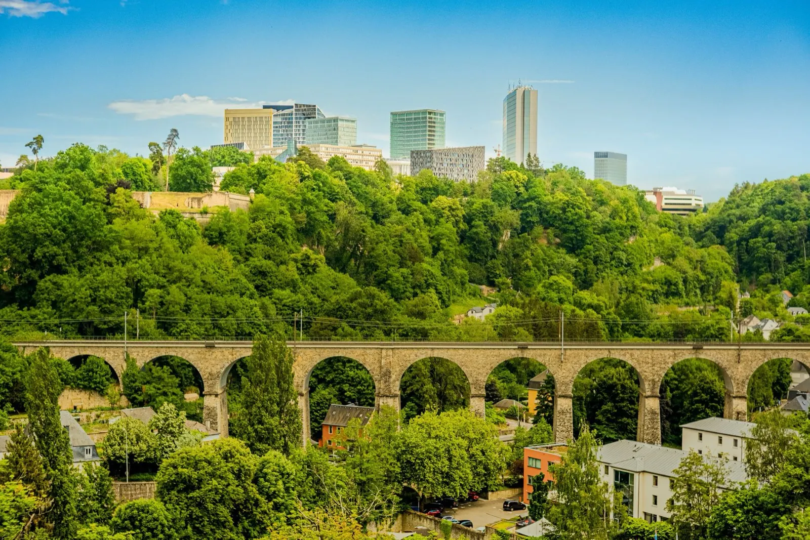
La capital se asienta sobre una roca atravesada por dos gargantas, por lo que fue una fortaleza durante ochocientos años y un sitio del Patrimonio Mundial de la UNESCO desde 1994. Al sur de ella, la Minette, la antigua cuenca de mineral de hierro alrededor de Esch-sur-Alzette, se ha convertido de nuevo en reservas naturales de roca roja y patrimonio industrial.
Mejor de abril a octubre
What it is like
- The old town sits above two green gorges, so the city is small on the map and much bigger on foot.
- The Bock casemates are a 17th century tunnel network cut into the rock under the old town.
Where to go
- The Bock casemates and the Chemin de la Corniche
- The Pfaffenthal panoramic lift, which is free
For the vehicle
- Park outside and use the free network. Second-class bus, tram and train cost nothing anywhere in the country.
- The city's approaches are congested 07:00 to 09:00 and after 16:30, because of 205,000 cross-border commuters.

El Mullerthal
El Müllerthal: pasarelas de arenisca y las mejores caminatas del país
Llamada Pequeña Suiza sin ninguna razón muy buena, ya que no se parece en nada a Suiza. Es una meseta de arenisca blanda erosionada en grietas, corredores y bloques exentos, envuelta en un bosque de hayas, con Echternach y su abadía en el Sûre en el borde oriental.
Mejor de abril a octubre
What it is like
- The rock formations are the point: narrow passages between sandstone walls, ladders, and small waterfalls.
- Echternach is the oldest town in Luxembourg, with a Benedictine abbey and a dancing procession on Whit Tuesday that is on the UNESCO intangible heritage list.
Where to go
- The Mullerthal Trail, walked in sections rather than all at once
- Schiessentümpel, the three-arch waterfall
For the vehicle
- Campsites cluster around Echternach, Berdorf and Beaufort, and most are seasonal.
- The lanes between the rock formations are narrow and tree-lined. Height and width matter more than length here.

El Éislek y las Ardenas
El Éislek: las terceras Ardenas, castillos y el lago del Alto Sûre
El tercio norte del país forma parte de las Ardenas. Es más accidentado y está menos poblado que el resto, con el Kneiff a 560 metros como punto más alto de Luxemburgo. Alberga los grandes castillos, el lago del Alto Sûre y la única zona del país con verdadera sensación de naturaleza salvaje.
Mejor de mayo a septiembre
What it is like
- Steep wooded valleys, slate roofs and small towns at the bottom of them.
- Vianden's castle is the one on every poster, and it earns it.
Where to go
- Vianden castle and the chairlift above the town
- Clervaux, for the abbey and the Family of Man photographic exhibition
For the vehicle
- Valley roads are steep, narrow and often wet under trees. The road code makes dangerous speed an offence whatever the sign says.
- Campsites are common on the Sûre and around the lake, and most close outside roughly Easter to October.