
Lussemburgo in camper: regioni e itinerari
Lussemburgo in camper: regioni consigliate, stagione migliore, accesso stradale e suggerimenti pratici per pianificare l’itinerario.
Published 18 settembre 2026Last checked 19 settembre 2026
Valuta
Euro
EUR. Carte ovunque. L'IVA è del 17 percento
Lingua
Lussemburghese
Il francese e il tedesco sono anche lingue amministrative
Guida
Destra
Autostrada 130 km/h, 110 in caso di pioggia, 90 fuori dai centri abitati
Elettricità
230V, tipo C e F
La spina rotonda continentale standard a due poli
Trasporto pubblico
Gratis
Seconda classe, nazionale, dal 1 marzo 2020
Emergenza
112
Qualsiasi lingua. Polizia 113
Zone del Lussemburgo
Le regioni del Lussemburgo: quattro paesaggi a meno di un'ora di macchina
Il Lussemburgo è lungo 82 km e largo 57 km, quindi non sono destinazioni attorno alle quali pianificare una settimana individualmente. Sono quattro paesaggi molto diversi concentrati in un paese che puoi attraversare prima di pranzo, e la decisione utile è in quale valle basarti piuttosto che in quale angolo guidare.

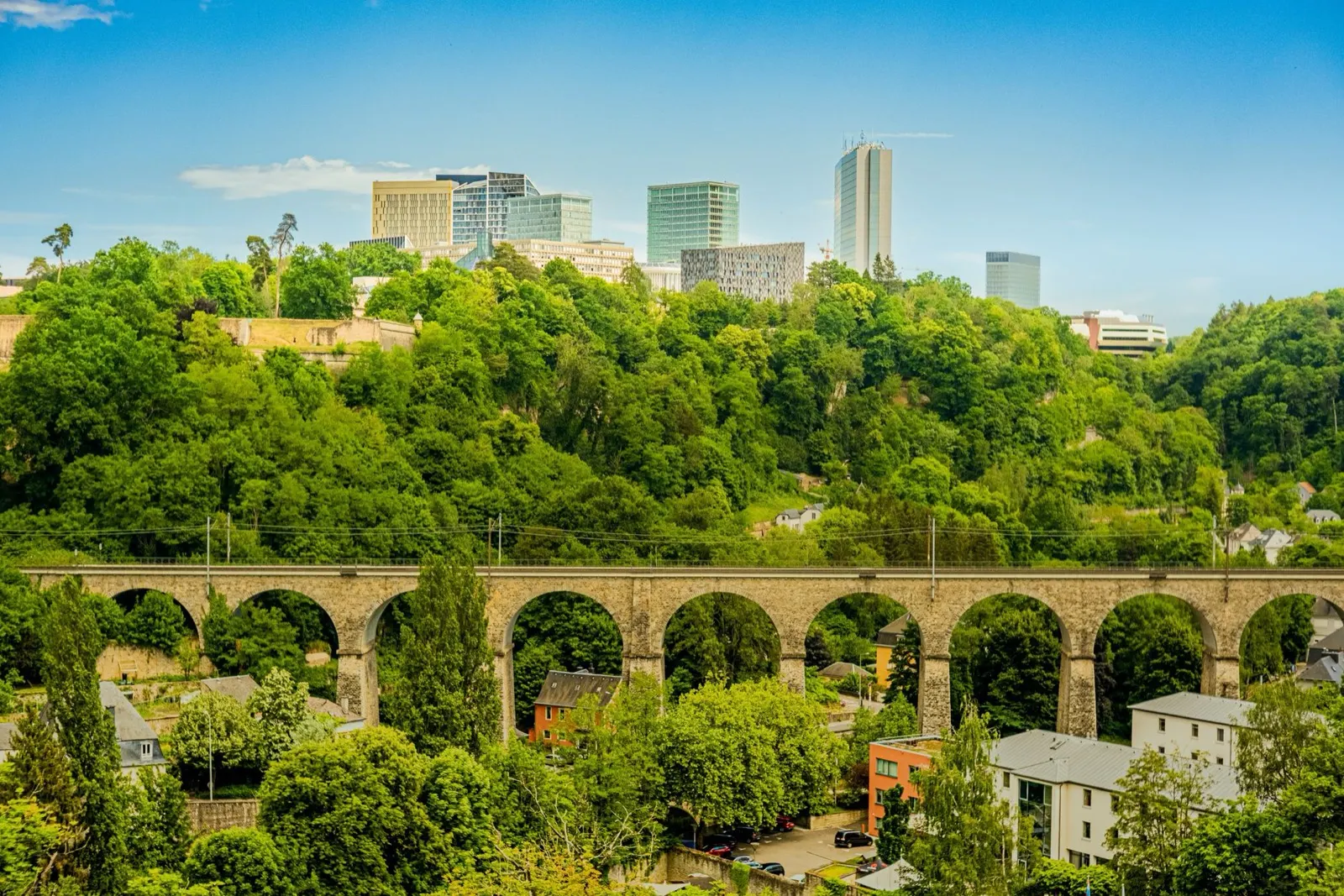
Città di Lussemburgo e il sud
Città del Lussemburgo e il sud: la fortezza e l'antico paese del ferro
La capitale sorge su una roccia attraversata da due gole. Per questo fu una fortezza per ottocento anni ed è patrimonio mondiale dell'UNESCO dal 1994. Più a sud, la Minette, l'antico bacino minerario attorno a Esch-sur-Alzette, è stata trasformata in riserve naturali di roccia rossa e siti di archeologia industriale.
Ideale da aprile a ottobre
What it is like
- The old town sits above two green gorges, so the city is small on the map and much bigger on foot.
- The Bock casemates are a 17th century tunnel network cut into the rock under the old town.
Where to go
- The Bock casemates and the Chemin de la Corniche
- The Pfaffenthal panoramic lift, which is free
For the vehicle
- Park outside and use the free network. Second-class bus, tram and train cost nothing anywhere in the country.
- The city's approaches are congested 07:00 to 09:00 and after 16:30, because of 205,000 cross-border commuters.

La Mullerthal
La Mullerthal: corridoi di arenaria e le migliori passeggiate del paese
Chiamata Piccola Svizzera senza un motivo valido, dato che non assomiglia per nulla alla Svizzera. È un altopiano di arenaria tenera erosa in fenditure, corridoi e blocchi isolati, avvolto da una foresta di faggi, con Echternach e la sua abbazia sulla Sûre al margine orientale.
Ideale da aprile a ottobre
What it is like
- The rock formations are the point: narrow passages between sandstone walls, ladders, and small waterfalls.
- Echternach is the oldest town in Luxembourg, with a Benedictine abbey and a dancing procession on Whit Tuesday that is on the UNESCO intangible heritage list.
Where to go
- The Mullerthal Trail, walked in sections rather than all at once
- Schiessentümpel, the three-arch waterfall
For the vehicle
- Campsites cluster around Echternach, Berdorf and Beaufort, and most are seasonal.
- The lanes between the rock formations are narrow and tree-lined. Height and width matter more than length here.

L'Éislek e le Ardenne
L'Éislek: le Ardenne terziarie, castelli e il lago dell'Alta Sûre
Il terzo settentrionale del paese fa parte delle Ardenne, più collinare e spopolato del resto, con il Kneiff a 560 metri come punto più alto del Lussemburgo. Ospita i grandi castelli, il lago dell'Alto Sûre e l'unica vera sensazione di natura selvaggia del paese.
Ideale da maggio a settembre
What it is like
- Steep wooded valleys, slate roofs and small towns at the bottom of them.
- Vianden's castle is the one on every poster, and it earns it.
Where to go
- Vianden castle and the chairlift above the town
- Clervaux, for the abbey and the Family of Man photographic exhibition
For the vehicle
- Valley roads are steep, narrow and often wet under trees. The road code makes dangerous speed an offence whatever the sign says.
- Campsites are common on the Sûre and around the lake, and most close outside roughly Easter to October.