
Regno Unito in camper: regioni e itinerari
Regno Unito in camper: regioni consigliate, stagione migliore, accesso stradale e suggerimenti pratici per pianificare l’itinerario.
Published 18 settembre 2026Last checked 18 settembre 2026
Valuta
Sterlina britannica
GBP, non l'euro. £0.8588 per €1 il 18 settembre 2026
Lingua
Inglese
Gallese, gaelico scozzese e irlandese compaiono sulle insegne
Guida
Sinistra
Autostrada 70 mph, carreggiata singola 60 mph
Elettricità
230V, tipo G
La spina piatta a tre poli. Le spine continentali necessitano di adattatori
Acqua del rubinetto
Potabile
Ovunque in tutte e quattro le nazioni
Emergenza
999 o 112
Entrambi funzionano, entrambi gratuiti, da qualsiasi telefono
Aree del Regno Unito
Le regioni del Regno Unito: Highlands, isole, laghi e costa
Il Regno Unito è piccolo su una mappa e lento sul terreno. Una strada a binario unico nel Wester Ross e una strada a due corsie nel Kent sono entrambe strade, e una di esse impiega cinque volte più tempo per miglio. La buona guida, il terreno libero e le regole locali più severe si trovano tutti negli stessi posti: il nord e l'ovest. Scegli la regione in base a quanto retromarcia sei disposto a fare e se riesci a sopportare un luglio con i moscerini.

Highlands scozzesi e la NC500
Le Highlands scozzesi e la NC500: la migliore guida in Gran Bretagna e le regole più severe al riguardo
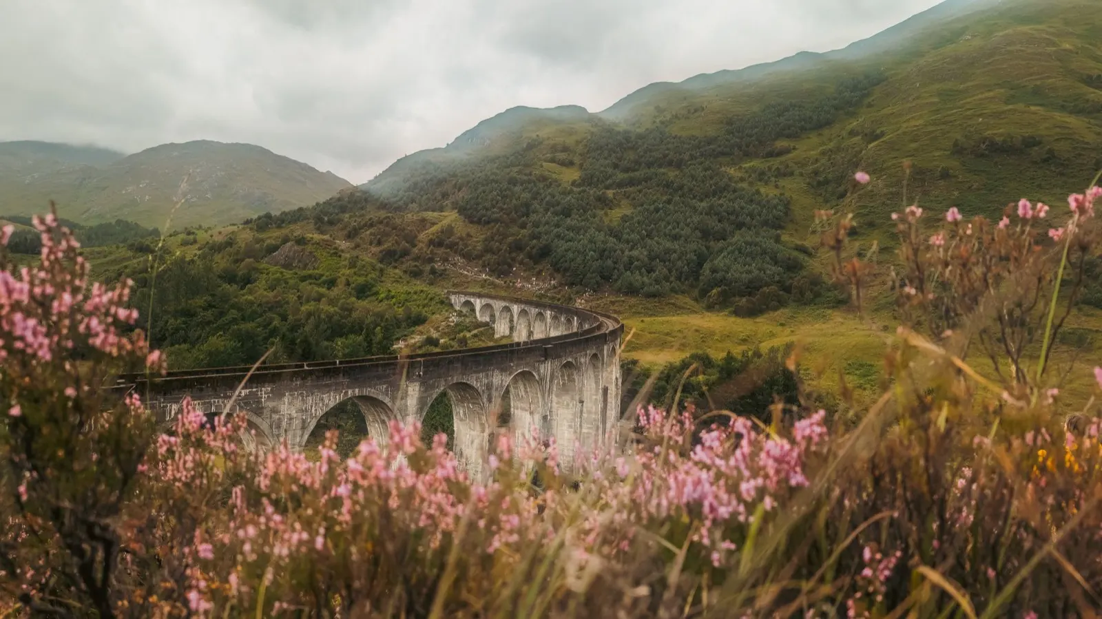
Vuoto, enorme e lento. Wester Ross, Sutherland, Assynt e la strada che gira in cima al continente, trasformata dal marketing turistico nella North Coast 500. Inverness è l'ultimo grande negozio per un lungo tratto, le strade si restringono a una sola corsia con piazzole di scambio entro un'ora da essa, e la luce a giugno dura oltre le 22:00. È anche dove la legge sull'accesso della Scozia è più incompresa e dove la pressione dei furgoni è maggiore.
Ideale a maggio, giugno e settembre
What it is like
- Inverness averages a July mean daily maximum of 19 °C and 62 mm of rain, so pack for cool and wet even at the peak.
- Distances lie. A hundred miles of single track is most of a day, not two hours.
Where to go
- Applecross and the Bealach na Bà pass
- Assynt, Suilven and the Coigach peninsula
For the vehicle
- The access right does not cover the van. The Land Reform (Scotland) Act excludes motorised vehicles, so a night here rests on parking law, the sign and the landowner.
- Passing places are not parking. Blocking one on a single track road is the fastest way to a angry local, and the Park Authority further south says it in terms.

Le isole della Scozia
Le isole della Scozia: Skye, le Ebridi, le Orcadi e gli orari dei traghetti che gestiscono il tuo viaggio
Skye in traghetto, tutto il resto in traghetto. Le Ebridi Esterne si estendono come una catena di ponti e brevi traversate da Barra al Butt of Lewis, Mull e Islay sono a una mattinata da Oban, e le Orcadi sono un'altra cosa ancora, con Skara Brae e il Ring of Brodgar. Le prenotazioni per un veicolo si esauriscono mesi prima in estate, e il programma dei traghetti, non la mappa, decide il tuo itinerario.
Ideale da maggio a settembre
What it is like
- Stornoway is wet and windy rather than cold: 145 mm of rain in January against 69 mm in May, and a July mean daily maximum of 16 °C.
- Fewer midges than the mainland glens, because there is almost always wind.
Where to go
- Harris, for the west coast beaches
- Skye's Trotternish ridge and the Quiraing
For the vehicle
- Book the ferry before anything else. Vehicle deck space is the limiting factor all summer, and length and height set the price.
- Island roads are single track with passing places almost everywhere. A long motorhome is hard work on Harris and on Jura.

Il Lake District
Il Lake District: le montagne dell'Inghilterra, la pioggia dell'Inghilterra e il parco nazionale più frequentato dell'Inghilterra
Un anello di laghi, il terreno più elevato dell'Inghilterra e un parco nazionale quasi interamente di proprietà privata e coltivato. Keswick, Ambleside e Windermere sono le basi, i passi tra le valli sono le strade e il tutto rientra in un raggio di un'ora. È anche il luogo più piovoso di questa guida: Keswick registra in media 1.575 mm di pioggia all'anno, più di Stornoway nelle Ebridi.
Ideale a maggio, giugno e settembre
What it is like
- Keswick's July mean daily maximum of 19.8 °C is the warmest figure in this guide, and July still brings 95 mm of rain.
- December is the wettest month at 195 mm, and the fells are in cloud for most of the winter.
Where to go
- Borrowdale and the Honister Pass
- Wasdale Head, under Scafell Pike
For the vehicle
- No right to camp. The Countryside and Rights of Way Act excludes camping and vehicles from the right of access. Campsites and permission are the answer here.
- Hardknott and Wrynose are signed at 1 in 3, with hairpins and no run-off. They are unsuitable for a motorhome.