
Bosnia and Herzegovina by campervan: best regions and routes
Where to go by campervan in Bosnia and Herzegovina: recommended regions, the best season, road access and practical route advice.
Published 18 September 2026Last checked 19 September 2026
Currency
Convertible mark
BAM, not the euro. 1.95583 KM to €1 at the fixed rate
Languages
Bosnian, Croatian, Serbian
Latin and Cyrillic script both in use
Driving
Right
Motorway 130 km/h, other roads 80 km/h
Insurance
No green card needed
EU checks dropped on 19 October 2020
Landmines
775 km² still suspect
Stay on roads and marked paths
Emergency
112
Ambulance 124
Areas of Bosnia and Herzegovina
The regions of Bosnia and Herzegovina: mountains, two rivers and a Mediterranean tail
This is a country of valleys, and the valleys decide everything: where the roads go, where the towns are, what the weather does and how long any journey takes. Read it as four or five river systems rather than as a map, and add half again to every drive time.

Sarajevo and the centre
Sarajevo and the centre: the city in the bowl and the mountains above it
Sarajevo sits in a narrow bowl at about 500 metres with mountains on every side, and the Olympic peaks of Bjelašnica, Igman and Jahorina are within an hour. It is the most concentrated place in the country: Ottoman bazaar, Habsburg boulevards, socialist blocks and the siege's marks, in walking distance of each other.
Best May to early October
What it is like
- Proper seasons. 28 °C in August, 4 °C in January, and rain spread through the year rather than in a wet season.
- The bowl traps air in winter, and air pollution here is a real and officially flagged problem.
Where to go
- Baščaršija and the Latin Bridge
- The tunnel museum under the airport
For the vehicle
- Thefts from cars have increased around Sarajevo, particularly on Mount Trebević. Leave nothing visible and park where there are people.
- The A1 runs north from here and charges a campervan 14 KM to Zenica north against 7 for a car.

Herzegovina
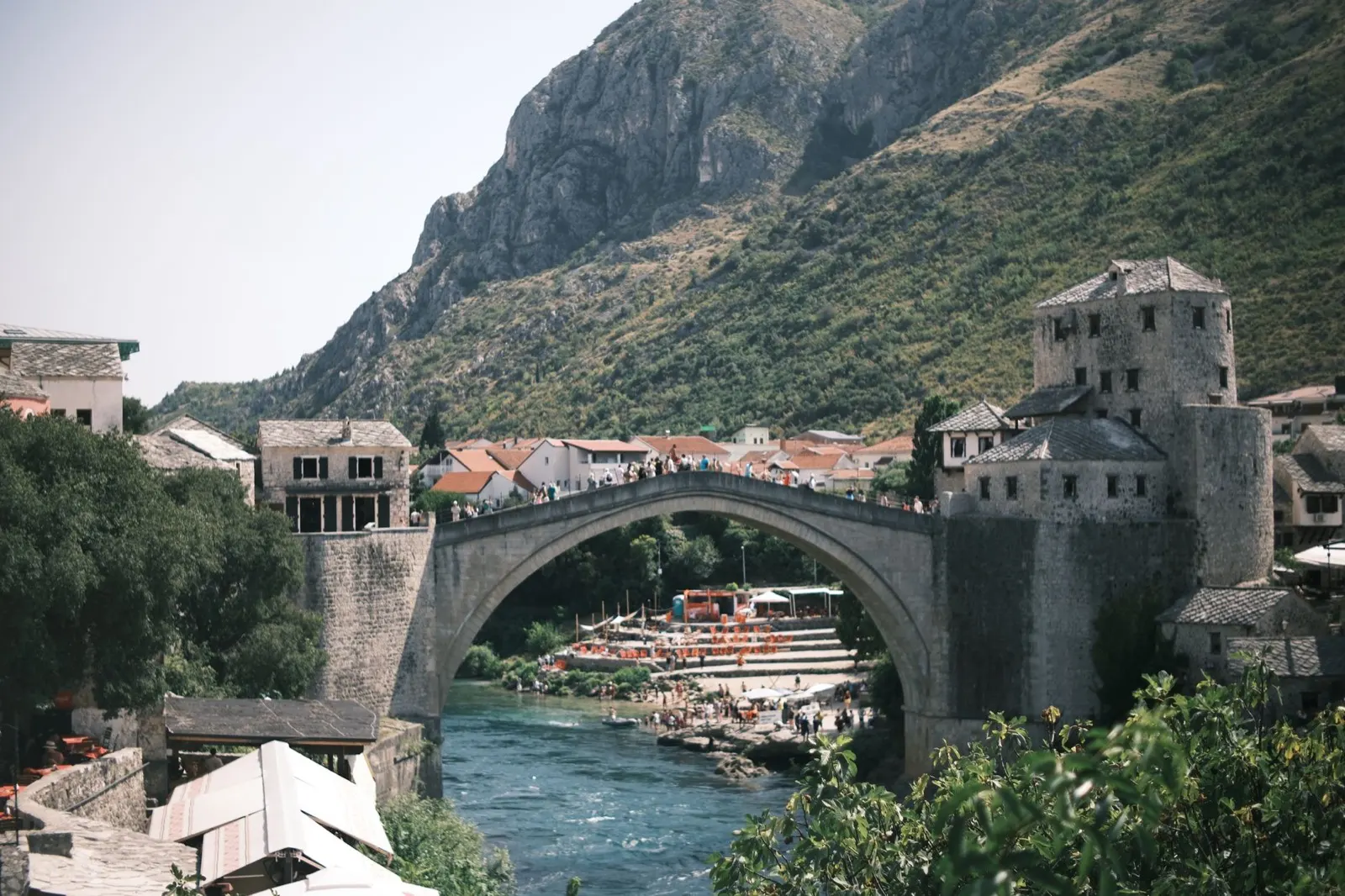
Herzegovina: Mostar, the Neretva and the karst south
South of the watershed the country changes completely: bare karst, figs and vines, and a Mediterranean climate that runs all the way to Trebinje and the Croatian border. Mostar is the centre of it, and the Neretva is the reason anything is where it is.
Best April to June, September, October
What it is like
- Hot. Mostar averages 33.5 °C in August and the karst holds the heat well past sunset.
- Wet in late autumn rather than in summer, and the November figures here are higher than Sarajevo's.
Where to go
- Mostar and the Old Bridge, early or late
- Blagaj, where the Buna comes out of a cliff
For the vehicle
- This is the Federation, so the hospitality law and its 50 to 500 KM camping fine apply here.
- Diving off the Mostar bridge has caused serious injuries and deaths. It is not a thing to try.

The Una and the north west
The Una and the north west: the greenest water in the country
The Una rises near the Croatian border and runs north through Martin Brod, Kulen Vakuf and Bihać over a staircase of travertine falls. Una National Park protects the best of it, and the whole corner is set up for rafting, which means it is also set up for campsites.
Best May to September
What it is like
- The wet corner of the country. Bihać takes over 100 mm in most months, which is why the river looks the way it does.
- Cooler than the rest in summer, at 27 °C in July against Mostar's 33.
Where to go
- Štrbački buk, the big fall in the national park
- Martin Brod and the Una Kruna cascades
For the vehicle
- This was a front line, and it is one of the parts of the country where staying on made surfaces matters most.
- The rafting bases are the easiest legal places to sleep, and they know which ground is cleared.