
Montenegro by campervan: best regions and routes
Where to go by campervan in Montenegro: recommended regions, the best season, road access and practical route advice. What to know before you go.
Published 18 September 2026Last checked 19 September 2026
Currency
Euro
EUR. Adopted unilaterally in 2002. Not a eurozone member
Language
Montenegrin
Serbian, Bosnian and Albanian are widely heard too
Driving
Right
Motorway 130 km/h, other roads 80 km/h
Border
Outside Schengen
Staffed crossings with Croatia, Bosnia, Serbia and Albania
Insurance
No green card needed
EU checks dropped on 2 August 2021
Emergency
112
Road help from AMSCG on 19807, in English
Areas of Montenegro
The regions of Montenegro: one bay, one coast and a very different north
Montenegro is small enough to cross in an afternoon and steep enough that crossing it changes everything. Three hours of driving takes you from a Mediterranean bay to a plateau that freezes in May. Pick the month first, then pick the altitude that suits it.

The Bay of Kotor
The Bay of Kotor: the draw, and the hardest place in the country to drive
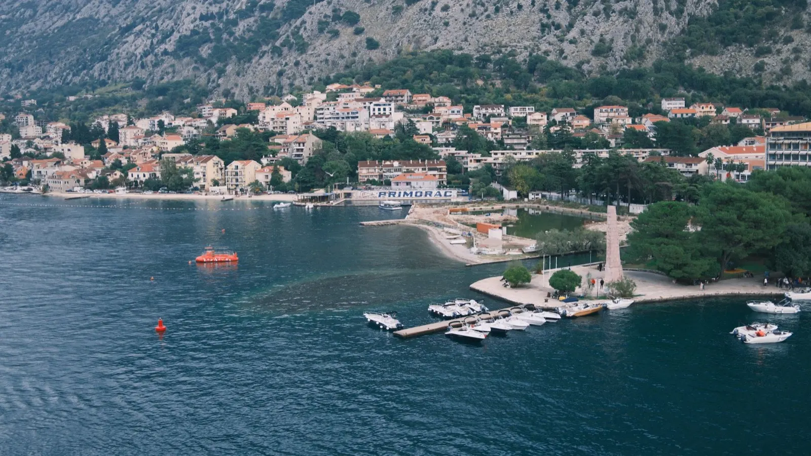
A drowned river canyon with mountains falling straight into it, and one narrow road wrapped all the way round. Herceg Novi, Perast, Kotor and Risan sit on that road, and so does every other vehicle in the bay. It is the reason most people come, and it is awkward in a long van.
Best May, June, September, October
What it is like
- Mild and wet rather than cold in winter. Herceg Novi averages 13 °C in January and takes over 230 mm of rain in December.
- Every town on the bay is a stone town with a pedestrian core and no van parking inside it.
Where to go
- Kotor old town, walked into from outside
- Perast and the two islands offshore
For the vehicle
- The serpentine road above Kotor is closed to campervans from 15 June to 15 October 2026. Going up to Lovćen means the Budva or Cetinje approach instead.
- The bay road is narrow, parked-up and slow in season. Allow far more time than the distance suggests.

The Budva riviera
The Budva riviera: the busy middle of the Montenegrin coast
From Budva south through Bečići, Petrovac and Sutomore to Bar. This is the developed stretch: the most beaches, the most hotels, the most nightlife and the most traffic. It is also where most of the country's registered campsites are, which makes it the easy part of a trip to plan.
Best May, June, September, October
What it is like
- Bar averages 30 °C in July and August and only 32 mm of rain in July, so high summer here is dry.
- Budva in August is the loudest place in Montenegro. Petrovac and Sutomore are the calmer versions of the same coast.
Where to go
- Budva old town, early or late
- Petrovac, the quieter bay south of it
For the vehicle
- The Sozina tunnel is the fast way in from Podgorica, at 5 euros for a vehicle over 1.90 metres. The old road over the pass is free and much slower.
- Coastal municipalities enforce the camping ban hardest here, and July and August are when they do it.

Ulcinj and the far south
Ulcinj and the far south: sand, the Bojana and the Albanian border
The last 30 km of Montenegrin coast, and the part that looks least like the rest of it. Velika plaža runs 13 km of flat sand, the Bojana river marks the Albanian border, and Ulcinj itself is majority Albanian-speaking. It is the obvious place to cross into Albania, at Sukobin.
Best May, June, September
What it is like
- Flat, sandy and shallow, where the rest of the coast is rock and pebble.
- Bilingual and visibly different in food, mosques and music from the bay two hours north.
Where to go
- Velika plaža, 13 km of sand
- Ulcinj old town on its rock
For the vehicle
- Sukobin is the crossing into Albania, and this is the point where a green card starts to matter: Albania is not in the arrangement that makes one unnecessary in Montenegro.
- The 2025 seasonal order closed the old R-29 road between Bar and Ulcinj to campers. The 2026 order does not, which is exactly why the current order is worth reading.