
Serbia by campervan: best regions and routes
Where to go by campervan in Serbia: recommended regions, the best season, road access and practical route advice. What to know before you go.
Published 18 September 2026Last checked 19 September 2026
Currency
Serbian dinar
RSD, not the euro. 117.05 to 117.75 din to €1 on 18 September 2026
Language
Serbian
Written in both Cyrillic and Latin, both official
Driving
Right
Motorway 130 km/h, other roads 80 km/h
Power
230V, type F
Same two-pin plug as most of Europe
Tap water
Mains supply
UK government health advice for Serbia carries no water warning
Emergency
112
Ambulance 194. Roadside assistance 1987
Areas of Serbia
The regions of Serbia: the Danube, the western mountains and the empty east
Serbia changes shape as you cross it. The north is flat Pannonian farmland with Austro-Hungarian towns, the west is forested mountain, the east is gorge country almost nobody drives, and it all hangs off two river valleys and two motorway corridors.

Belgrade
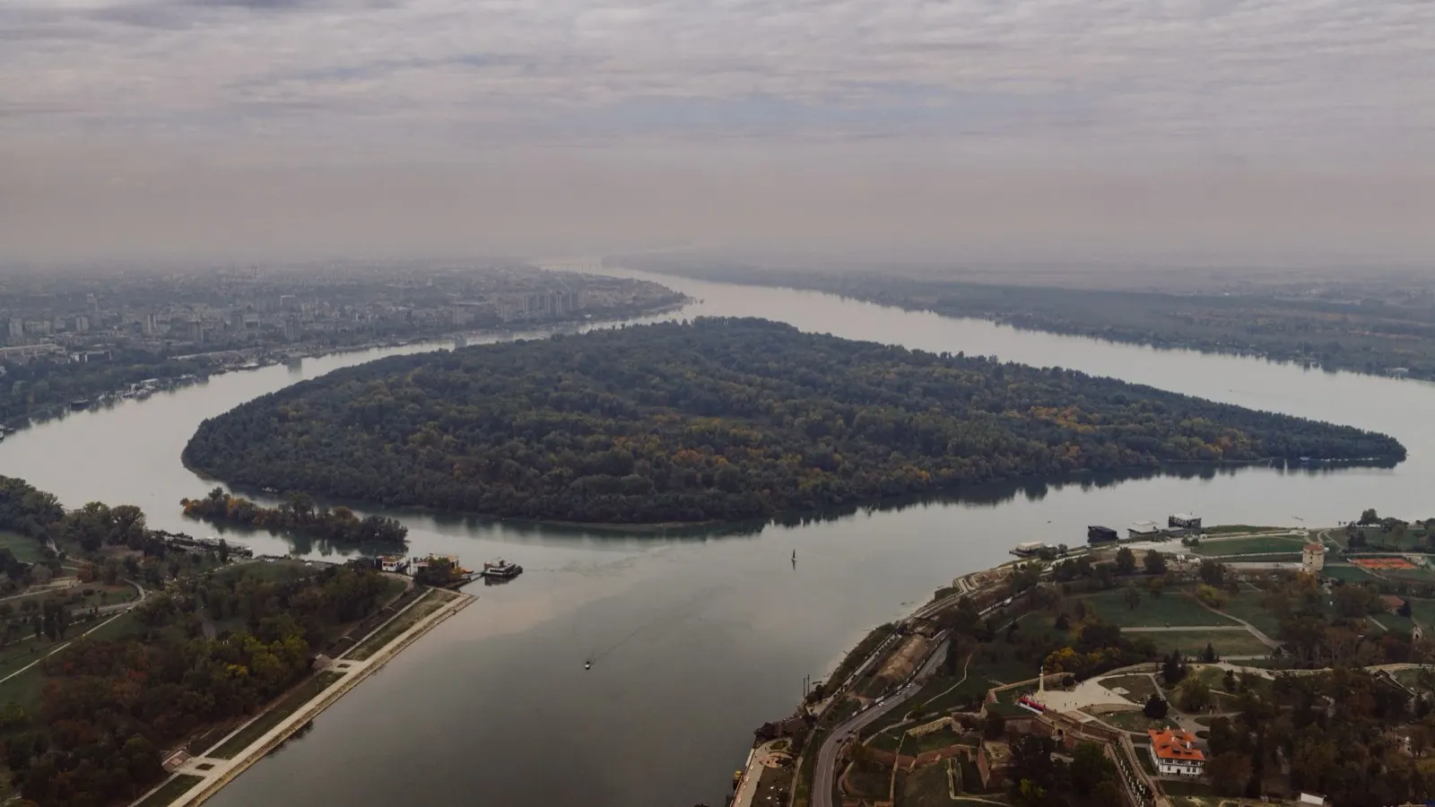
Belgrade: where the Sava meets the Danube
A big, loud, unpolished capital built on the point where two major rivers meet, with a fortress on the headland and a nightlife reputation it earns. Everything in Serbia connects through here, and both motorway corridors cross at the bypass.
Best May, June, September
What it is like
- Kalemegdan fortress sits on the confluence and is free to walk into.
- Skadarlija is the old tavern street, and Zemun across the Sava is the quieter, Austro-Hungarian half of the city.
Where to go
- Kalemegdan and the fortress walls
- Zemun quay and the Gardoš tower
For the vehicle
- Park on the edge and use the buses and trams. The centre is not a place to take a long van.
- The bypass carries toll on some sections, and category 4 vehicles have paid on it since 1 April 2026.

Vojvodina and the north
Vojvodina: flat, Austro-Hungarian and the easiest driving in Serbia
The autonomous province north of the Danube: pancake-flat farmland, planned towns with yellow Habsburg facades, and the country's best wine hills at Fruška Gora. Hungarian, Slovak and Romanian are in official use alongside Serbian in parts of it.
Best May, June, September
What it is like
- Novi Sad is the second city, walkable, with the Petrovaradin fortress across the river.
- Subotica and Palić are art nouveau towns on the Hungarian border, and look it.
Where to go
- Novi Sad and Petrovaradin fortress
- Sremski Karlovci for wine and the old seminary town
For the vehicle
- Belgrade to Subotica on the E75 was 1,270 dinars in toll category 2 on the July 2026 tariff.
- Flat, straight roads and small villages. The easiest part of the country to drive a long vehicle.

Western Serbia
Western Serbia: Tara, Zlatibor and the Drina
Forested mountain country between the Drina and the Ibar, and the part of Serbia Serbs themselves go to in summer. Tara is a national park of steep pine canyon above the Drina. Zlatibor is an open highland plateau of meadows and villages at around a thousand metres.
Best June to September
What it is like
- Zlatibor averages 24 C in July and August against Belgrade's 30, which is the whole reason it fills up.
- It is also the wettest part of the country in early summer, with over 100 mm in May, June and July.
Where to go
- Tara national park and the Drina canyon viewpoints
- Zlatibor plateau and its village roads
For the vehicle
- The Ibarska magistrala to the south of here is named by UK government advice as particularly dangerous. Take it slowly or take the E763.
- Tara is a national park, so the manager's internal-order rules govern what you can do on its land.