
Switzerland by campervan: best regions and routes
Where to go by campervan in Switzerland: recommended regions, the best season, road access and practical route advice. What to know before you go.
Published 18 September 2026Last checked 18 September 2026
Currency
Swiss franc
CHF, not the euro. 0.9462 francs to €1 on 18 September 2026
Languages
German, French, Italian
Romansh is the fourth national language
Driving
Right
Motorway 120 km/h, expressway 100, other roads 80
Power
230V, type J
A Schuko plug usually will not fit. Bring an adapter
Motorway
CHF 40 vignette
One sticker, the whole network, up to 3.5 t
Emergency
112
Police 117, ambulance 144, air rescue 1414
Areas of Switzerland
The regions of Switzerland: six drives, three languages and two kilometres of altitude
Switzerland is small enough to cross in a day and varied enough that the language, the weather and the rules all change while you do it. Pick the region by altitude and month, and let the passes decide the order you drive them in.

Valais
Valais: the driest corner of Switzerland, and the one with the Matterhorn
The Rhone valley runs east to west between the two highest mountain walls in the Alps, and the side valleys climb off it to Zermatt, Saas-Fee and the Grand Combin. French is spoken in the lower valley, German in the upper one, and the border between them sits around Sierre.
Best April to June, September and October
What it is like
- The driest region in this guide. Sion gets less rain in a year than any other station in the strip.
- Terraced vineyards on the north slope and glaciers directly above them.
Where to go
- Zermatt and the Gornergrat, parked at Täsch
- The Aletsch glacier from the Riederalp side
For the vehicle
- Caravans and tents outside an authorised campsite need a building permit here once they stand more than three weeks or number more than twelve.
- The Lötschberg car train drops you into the Valais from the Bernese Oberland in minutes, all year.

Bernese Oberland
The Bernese Oberland: the mountain face everybody pictures
Interlaken sits between two lakes with the Eiger, Mönch and Jungfrau standing behind it, and the valleys of Lauterbrunnen and Grindelwald run up into them. This is the most visited mountain landscape in the country and the most heavily organised.
Best June to September
What it is like
- Wet. Interlaken's summer months are among the rainiest in the strip, which is exactly why the valleys are so green.
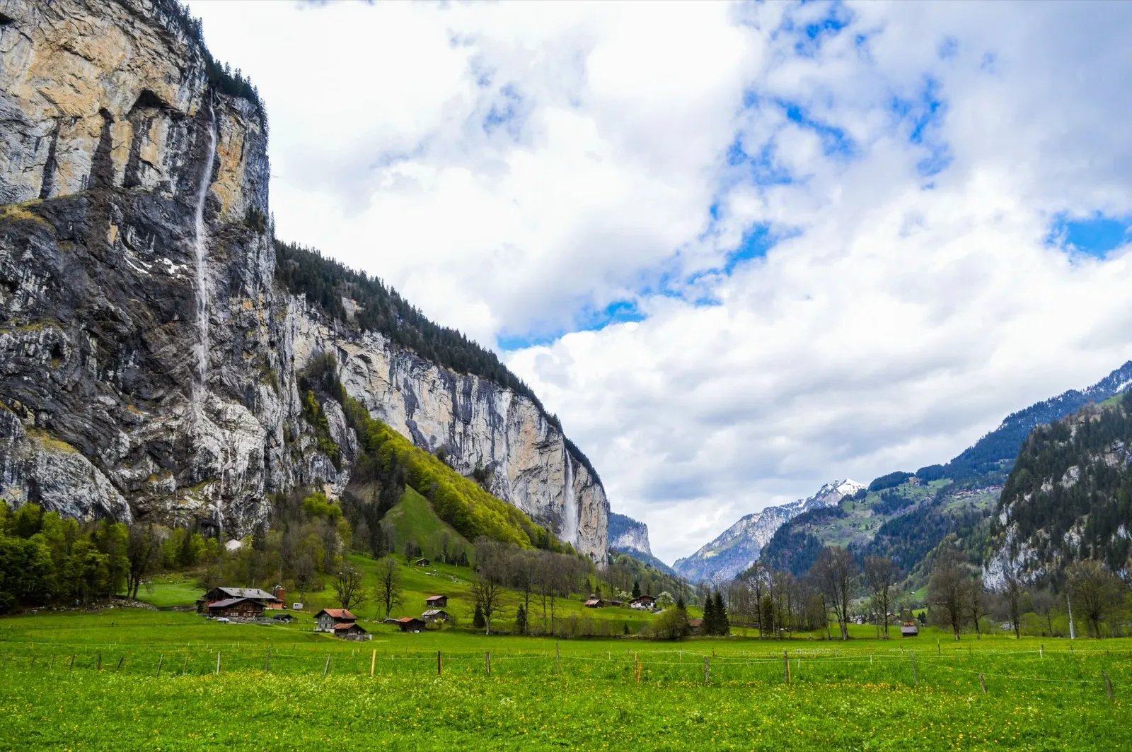
- The Lauterbrunnen valley has a vertical wall on both sides and dozens of waterfalls coming off them.
Where to go
- Lauterbrunnen and the Staubbach falls
- Grindelwald and the walks under the Eiger north face
For the vehicle
- Free and wild camping is banned in the canton's listed wildlife protection areas, and several of them are in these mountains.
- Mürren and Wengen are car free. Park in the valley and take the train.

Graubünden and the Engadin
Graubünden and the Engadin: the biggest canton, the highest valleys
The largest canton in Switzerland, trilingual in German, Italian and Romansh, and the only one with a national park. The Engadin runs at around 1,700 metres for its whole length, which makes it cold, bright and the best place in the country to be in August.
Best June to September
What it is like
- High. Samedan's January daily maximum is below freezing and its July maximum is 19 °C.
- Romansh is still a living language in these valleys and appears on signs alongside German.
Where to go
- The Swiss National Park along the Ofen pass road
- The Engadin lakes between St Moritz and Maloja
For the vehicle
- No general cantonal rule on overnighting could be found here. Communal signs are the only source, and the National Park area is strict.
- Inside the national park the only overnight options are the Cluozza hut and Hotel Il Fuorn.