
Luxembourg by campervan: best regions and routes
Where to go by campervan in Luxembourg: recommended regions, the best season, road access and practical route advice. What to know before you go.
Published 18 September 2026Last checked 19 September 2026
Currency
Euro
EUR. Cards everywhere. VAT is 17 percent
Language
Luxembourgish
French and German are administrative languages too
Driving
Right
Motorway 130 km/h, 110 in the rain, 90 outside towns
Power
230V, type C and F
The standard continental round two-pin
Public transport
Free
Second class, nationwide, since 1 March 2020
Emergency
112
Any language. Police 113
Areas of Luxembourg
The regions of Luxembourg: four landscapes inside an hour's drive
Luxembourg is 82 km long and 57 km wide, so these are not destinations you plan a week around individually. They are four quite different landscapes packed into a country you can cross before lunch, and the useful decision is which valley to base yourself in rather than which corner to drive to.

Luxembourg City and the south
Luxembourg City and the south: the fortress, and the old iron country
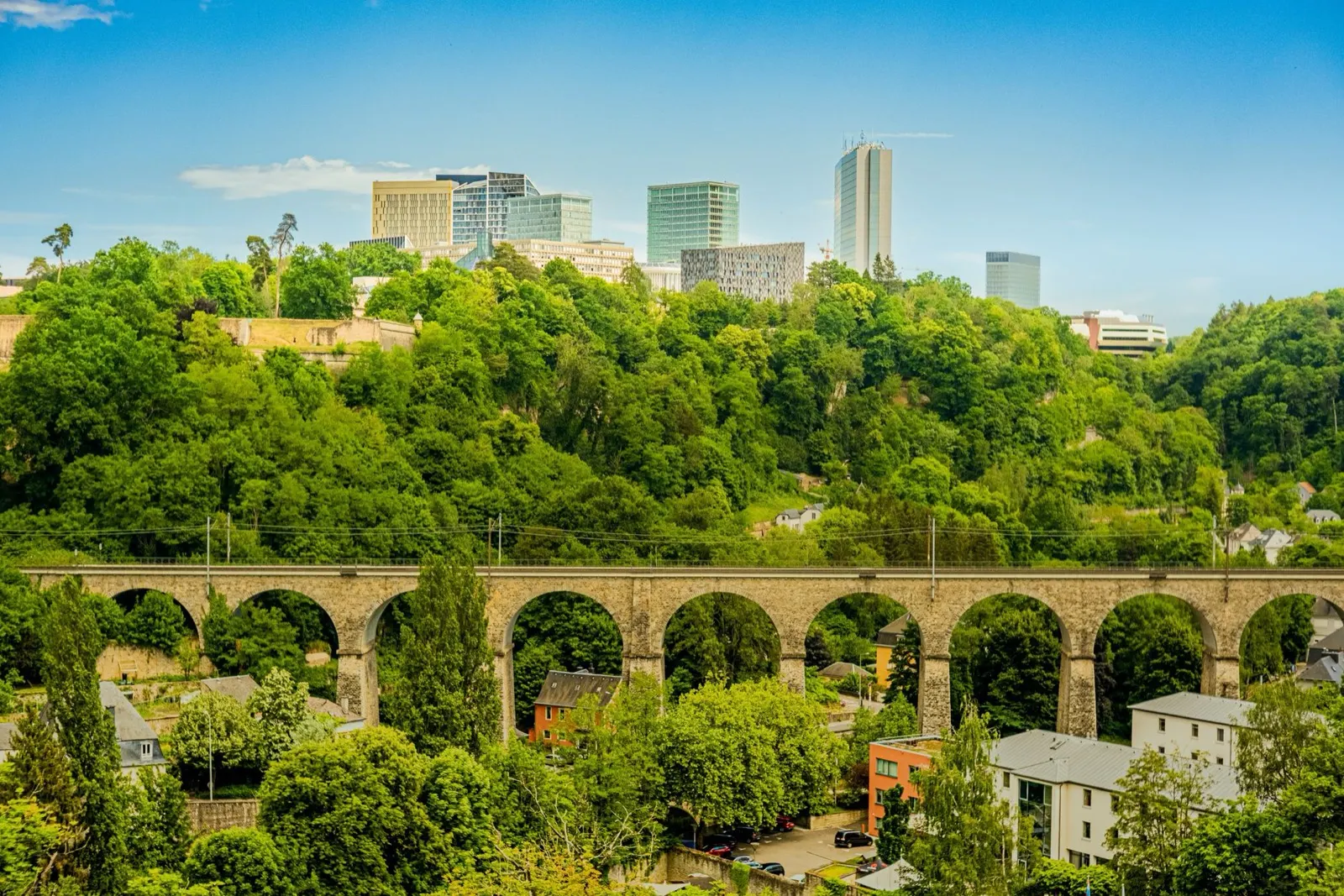
The capital sits on a rock cut through by two gorges, which is why it was a fortress for eight hundred years and a UNESCO World Heritage site since 1994. South of it, the Minette, the old iron ore basin around Esch-sur-Alzette, has been turned back into red-rock nature reserves and industrial heritage.
Best April to October
What it is like
- The old town sits above two green gorges, so the city is small on the map and much bigger on foot.
- The Bock casemates are a 17th century tunnel network cut into the rock under the old town.
Where to go
- The Bock casemates and the Chemin de la Corniche
- The Pfaffenthal panoramic lift, which is free
For the vehicle
- Park outside and use the free network. Second-class bus, tram and train cost nothing anywhere in the country.
- The city's approaches are congested 07:00 to 09:00 and after 16:30, because of 205,000 cross-border commuters.

The Mullerthal
The Mullerthal: sandstone corridors, and the best walking in the country
Called Little Switzerland for no very good reason, since it looks nothing like Switzerland. It is a plateau of soft sandstone eroded into clefts, corridors and free-standing blocks, wrapped in beech forest, with Echternach and its abbey on the Sûre at the eastern edge.
Best April to October
What it is like
- The rock formations are the point: narrow passages between sandstone walls, ladders, and small waterfalls.
- Echternach is the oldest town in Luxembourg, with a Benedictine abbey and a dancing procession on Whit Tuesday that is on the UNESCO intangible heritage list.
Where to go
- The Mullerthal Trail, walked in sections rather than all at once
- Schiessentümpel, the three-arch waterfall
For the vehicle
- Campsites cluster around Echternach, Berdorf and Beaufort, and most are seasonal.
- The lanes between the rock formations are narrow and tree-lined. Height and width matter more than length here.

The Éislek and the Ardennes
The Éislek: the Ardennes third, castles and the Upper Sûre lake
The northern third of the country is part of the Ardennes, hillier and emptier than the rest, with the Kneiff at 560 metres as the highest point in Luxembourg. It holds the big castles, the Upper Sûre lake and the country's only real wilderness feeling.
Best May to September
What it is like
- Steep wooded valleys, slate roofs and small towns at the bottom of them.
- Vianden's castle is the one on every poster, and it earns it.
Where to go
- Vianden castle and the chairlift above the town
- Clervaux, for the abbey and the Family of Man photographic exhibition
For the vehicle
- Valley roads are steep, narrow and often wet under trees. The road code makes dangerous speed an offence whatever the sign says.
- Campsites are common on the Sûre and around the lake, and most close outside roughly Easter to October.