
Norway by campervan: best regions and routes
Where to go by campervan in Norway: recommended regions, the best season, road access and practical route advice. What to know before you go.
Published 18 September 2026Last checked 18 September 2026
Currency
Norwegian krone
NOK, not the euro. 10.8095 kr to €1 on 18 September 2026
Language
Norwegian
English is spoken almost everywhere
Driving
Right
80 km/h outside towns, 80 km/h cap over 3.5 t
Power
230V, type F
Same two-pin plug as most of the continent
Tap water
Safe to drink
Ask for vann fra springen
Emergency
112 police
Fire 110, ambulance 113, at sea 120
Areas of Norway
The regions of Norway: fjords, islands, mountains and the far north
Norway is long, and the difference between its ends is a season rather than a style. The south coast is a summer holiday, the fjords are the scenery everyone comes for, the mountains are shut for half the year, and the north is a commitment measured in days of driving. Pick the region by the month you are travelling and by how far you are willing to go.

Western fjords
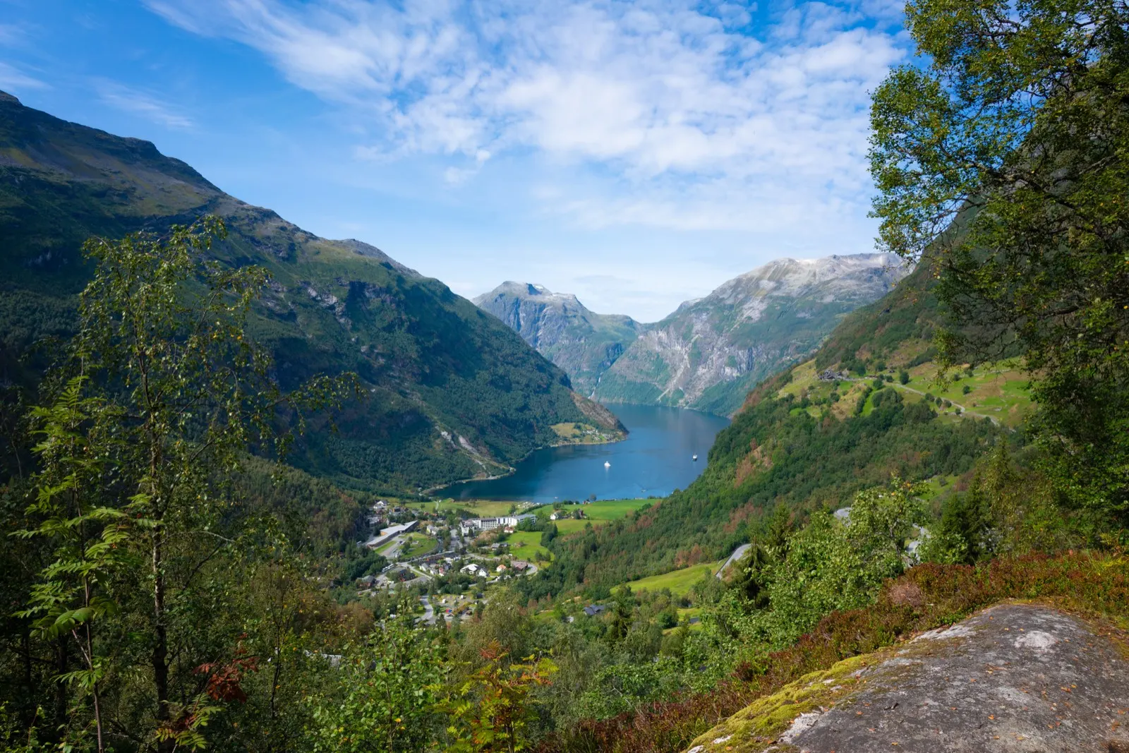
The western fjords: the scenery everyone comes for, and the rain that makes it
Bergen, the Sognefjord, Hardanger, Geiranger and the coast north to Ålesund. This is the Norway on the postcards, and the reason it looks like that is rainfall: Bergen averages over 100 mm in every month of the year and 290 mm in December.
Best June to August
What it is like
- Mild for the latitude and wet all year. Bergen runs from 5 °C in January to 20 °C in July.
- The roads are slow by design: ferries, single track sections, tunnels and hairpins. Distances on the map mean nothing.
Where to go
- Geiranger and the Trollstigen road
- The Sognefjord and Aurlandsfjellet
For the vehicle
- Ferries are unavoidable and priced by length. A prepayment agreement with AutoPASS for ferry is worth 50 percent to a private customer.
- Geiranger to Hellesylt needs booking in summer. Missing a sailing can cost you an hour or more.

Lofoten and Vesterålen
Lofoten and Vesterålen: the islands with their own written camping rules
A chain of sharp granite islands above the Arctic Circle, reached by the E10 or by ferry from Bodø to Moskenes. Lofoten is also the one part of Norway that has written down exactly where you may not camp and where you may not park a motorhome overnight.
Best June to August
What it is like
- Milder than the latitude suggests. Leknes averages 16 °C in July and 1 °C in January.
- Summer is busy and the islands are small. The good places are known and the car parks fill.
Where to go
- The National Tourist Route through the islands, 230 km
- Reine and the Moskenes end
For the vehicle
- The Lofoten outdoor recreation regulation is real law. Tents are banned at named places from 1 May to 1 October, and all year at Haukland in Vestvågøy.
- It also bans parking a motorhome or caravan between 00:00 and 06:00 at named car parks in Vågan and Værøy.

Tromsø and Finnmark
Tromsø and Finnmark: midnight sun in summer, polar night in winter
The far north, from Tromsø across to the Varanger peninsula and the Russian border. Distances are long, settlements are small and the land opens out into tundra. In Tromsø the midnight sun runs from about 18 May to 26 July and the polar night from about 26 November to 15 January.
Best June to August
What it is like
- Cool even at its best: Tromsø averages 16 °C in July and minus 1 °C in January.
- The sun does not set for two months in summer. Blackout blinds are not a luxury here.
Where to go
- Senja, 102 km of National Tourist Route
- Varanger, 160 km out to the Arctic Ocean
For the vehicle
- Fuel, food and signal all thin out. Fill at half a tank and carry more than you think you need.
- Studded tyres are allowed here from 16 October to 30 April, two weeks either side of the rest of the country.