
Poland by campervan: best regions and routes
Where to go by campervan in Poland: recommended regions, the best season, road access and practical route advice. What to know before you go.
Published 18 September 2026Last checked 19 September 2026
Currency
Polish złoty
PLN, not the euro. 4.36 zł to €1 on 18 September 2026
Language
Polish
Latin alphabet with nine extra letters
Driving
Right
Motorway 140 km/h, but 80 km/h over 3.5 t
Power
230V, type E
A Schuko plug fits the socket
Alcohol
0.2 promille
An offence from 0.2, a crime above 0.5
Emergency
112
Mountain rescue 601 100 300
Areas of Poland
The regions of Poland: coast, lakes, mountains and the old capital
Poland is flat in the north and mountainous along its whole southern edge, and a van trip usually picks one end or the other. The distances look small on a map and drive long, because outside the motorway corridors you are on single carriageways behind lorries.

Baltic coast
The Baltic coast: 500 km of sand and the strictest shore rules in the country
From the German border past Szczecin, Kołobrzeg and Łeba to the Tri-City of Gdańsk, Gdynia and Sopot, and on to the Hel peninsula. Almost all of it is sand backed by dunes and pine forest. The sea is cold, the wind is constant, and the season is short and intense.
Best late June to early September
What it is like
- Gdańsk averages 23 °C in July and August and 2 °C in January. There is no shoulder season here worth the drive.
- The resort towns fill completely in July and August, then empty within a week of the schools going back.
Where to go
- Gdańsk, Sopot and Gdynia, the Tri-City
- The Hel peninsula, sand on both sides
For the vehicle
- The shore strip is under the maritime office, not the town. Driving a motor vehicle on it without written consent is an offence, and so is a beach fire.
- Resort towns charge for parking in season and enforce it. Park once and use a bike.

Masuria
Masuria: two thousand lakes and the quietest driving in Poland
The lake district of the north east, centred on Giżycko, Mikołajki and Węgorzewo, with Olsztyn as the regional capital. Glacial lakes linked by canals, forest between them, and a sailing culture that runs the whole summer. It is the emptiest part of lowland Poland to drive.
Best July and August
What it is like
- Olsztyn averages 24 °C in July and 0 °C in January. The lakes only warm up properly in July.
- The big lakes are a connected sailing system, so the towns on them are boat towns with masts everywhere.
Where to go
- Giżycko and Lake Niegocin
- Mikołajki and Lake Śniardwy, the largest in Poland
For the vehicle
- Lakeside camping is popular and legal at sites. The forest around the lakes is still forest, so the camping ban applies.
- Roads between the lakes are narrow, tree-lined and often edged with deep ditches. A wide van needs care.

Kraków and Małopolska
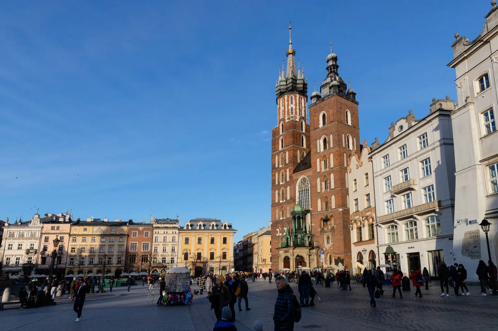
Kraków and Małopolska: the old capital, the salt mine and the Tatras
The south of the country, from Kraków down through Podhale to the Tatras on the Slovak border. This is the region most people come for: the one big Polish city that was never flattened, the Wieliczka salt mine, Zakopane, and the only alpine mountains in the country.
Best May, June and September
What it is like
- Kraków averages 25 °C in July and 2 °C in January, with 98 mm of rain in July, the wettest month.
- Zakopane sits at 855 metres and is a different climate again, wetter and cooler, with snow into spring.
Where to go
- Kraków old town and Kazimierz
- Wieliczka salt mine, booked ahead
For the vehicle
- Kraków's low emission zone covers about 60 percent of the city. A diesel needs Euro 6 or a 2014 build, and a foreign plate has to be registered in the city system before it drives in.
- Park outside Kraków and take a tram. The old town is closed to through traffic and the streets are medieval.